Skip to search
Skip to main content
Skip to first result
Digital Commonwealth
Folders
Sign Up / Log In
Search for
Search
Search
Search
Basic
Advanced
Explore
Map
Collections
Institutions
Formats
For Educators
Primary Source Sets
Lesson Plans
Using Primary Sources
Searching Digital Commonwealth
For Institutions
Join Digital Commonwealth
Conferences, Trainings, & Events
How to Contribute Collections
Digitization Services
Board & Committees
Frequently Asked Questions
About
About Digital Commonwealth
News & Announcements
Copyright & Terms of Use
Harmful Content Statement
Partners
API
Contact Us
Search
Search Constraints
Start Over
Save Search
Your search:
More Like
commonwealth-oai:pc289r30k
✖
Remove constraint More Like: commonwealth-oai:pc289r30k
« Prev.
|
21
-
40
of
202
|
Next »
Sort
by relevance
relevance
title
date (asc)
date (desc)
Number of results to display per page
20
per page
per page
10
per page
20
per page
50
per page
100
per page
View results as:
List
list view
Maps
map view
Gallery
grid view
Search Results
21.
Atlas of the boundaries of the city of Salem and towns of Danvers, Marblehead and Peabody, Essex County
22.
Atlas of the boundaries of the city of Springfield, Hampden County
23.
Atlas of the boundaries of the city of Taunton, Bristol County
24.
Atlas of the boundaries of the city of Woburn, Middlesex County
25.
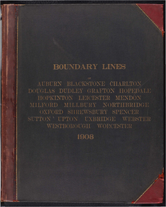
Atlas of the boundaries of the city of Worcester and towns of Auburn, Blackstone, Charlton, Douglas, Dudley, Grafton, Hopedale,...
26.
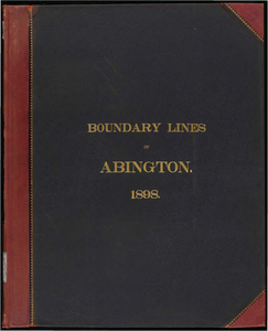
Atlas of the boundaries of the town of Abington, Plymouth County
27.
Atlas of the boundaries of the town of Alford, Becket, Egremeont, Great Barrington, Hinsdale, Lee, Lenox, Monterey, Mount...
28.
Atlas of the boundaries of the town of Arlington, Middlesex County
29.
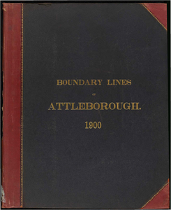
Atlas of the boundaries of the town of Attleborough, Bristol County
30.
Atlas of the boundaries of the town of Bourne, Barnstable County
31.
Atlas of the boundaries of the town of Bridgewater, Plymouth County
32.
Atlas of the boundaries of the town of Duxbury, Plymouth County
33.
Atlas of the boundaries of the town of East Bridgewater, Plymouth County
34.
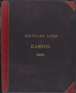
Atlas of the boundaries of the town of Easton, Bristol County
35.
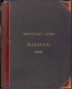
Atlas of the boundaries of the town of Halifax, Plymouth County
36.
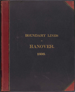
Atlas of the boundaries of the town of Hanover, Plymouth County
37.
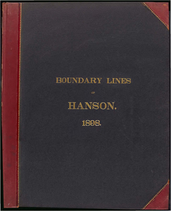
Atlas of the boundaries of the town of Hanson, Plymouth County
38.
Atlas of the boundaries of the town of Kingston, Plymouth County
39.
Atlas of the boundaries of the town of Lakeville, Plymouth County
40.
Atlas of the boundaries of the town of Mansfield, Plymouth County
« Previous
Next »
1
2
3
4
5
6
…
10
11
Limit your search
Subject
Harbors--Massachusetts--Boston--Maps
58
Boston (Mass.)--Maps
10
Massachusetts--Maps
10
Boston Harbor (Mass.)--Maps
8
Charles River (Mass.)--Maps
7
Connecticut River--Maps
7
Connecticut--Maps
7
New England Railroad--Maps
6
more
Subject
»
Place
North and Central America
202
United States
202
Massachusetts
200
Suffolk (county)
82
Boston
78
Plymouth (county)
30
Middlesex (county)
24
Barnstable (county)
23
more
Place
»
Format
Maps/Atlases
159
Books
41
Photographs
2
Date
View distribution
Current results range from
1839
to
1916
Date range begin
Date range end
View larger »
Unknown
1
Collection
Massachusetts Board of Harbor and Land Commissioners
202
Institution
State Library of Massachusetts
202