Skip to search
Skip to main content
Skip to first result
Digital Commonwealth
Folders
Sign Up / Log In
Search for
Search
Search
Search
Basic
Advanced
Explore
Map
Collections
Institutions
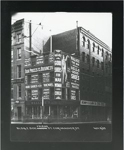
Formats
For Educators
Primary Source Sets
Lesson Plans
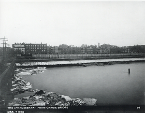
Using Primary Sources
Searching Digital Commonwealth
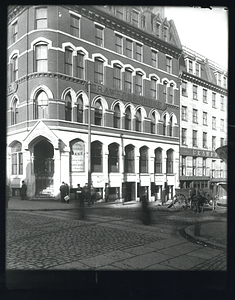
For Institutions
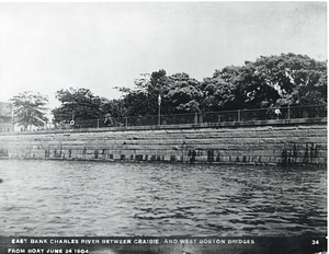
Join Digital Commonwealth
Conferences, Trainings, & Events
How to Contribute Collections
Digitization Services
Board & Committees
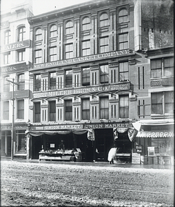
Frequently Asked Questions
About
About Digital Commonwealth
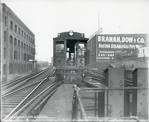
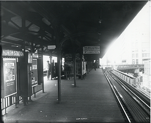
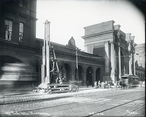
News & Announcements
Copyright & Terms of Use
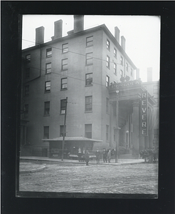
Harmful Content Statement
Partners
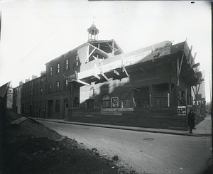
API
Contact Us
Search
Search Constraints
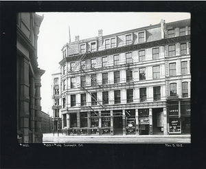
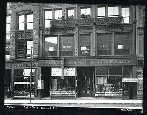
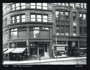
Start Over
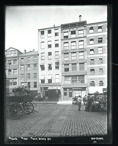
Save Search
Your search:
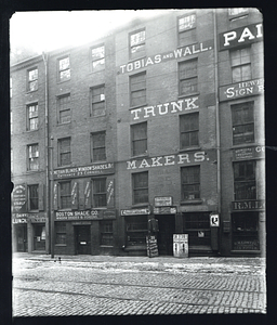
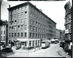
More Like
commonwealth-oai:h415s152h
✖
Remove constraint More Like: commonwealth-oai:h415s152h
« Prev. |
1
-
100
of
1,583
|
Next »
Sort
by relevance
relevance
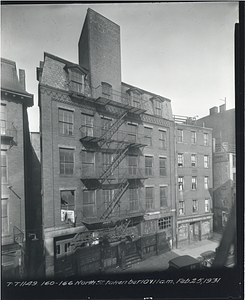
title
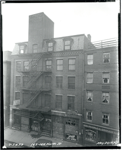
date (asc)
date (desc)
Number of results to display per page
100
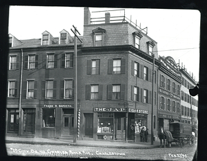
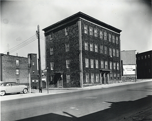
per page
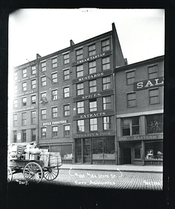
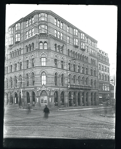
per page
10
per page
20
per page
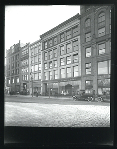
50
per page
100
per page
View results as:
List
list view
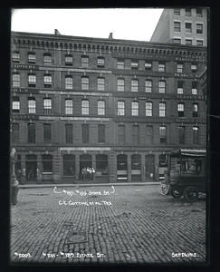
Maps
map view
Gallery
grid view
Search Results
1.
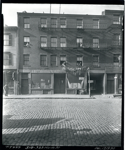
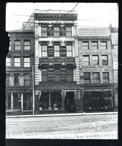
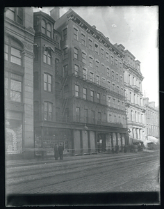
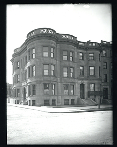
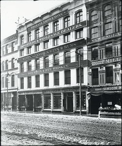
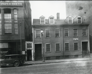
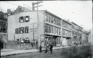
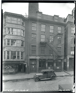
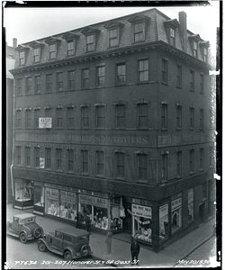
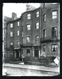
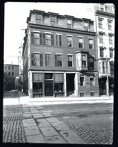
119 Haverhill Street
2.
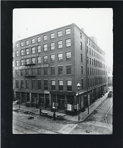
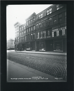
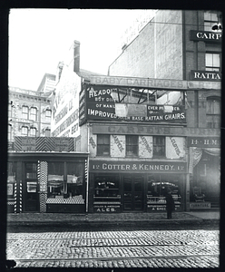
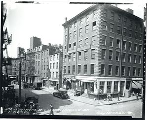
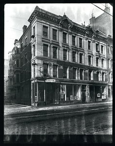
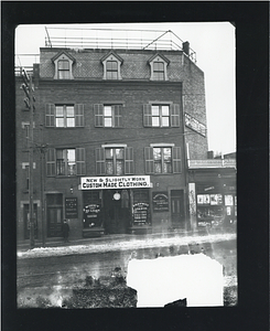
61-71 Haverhill Street
3.
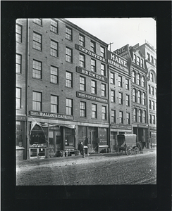
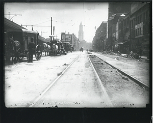
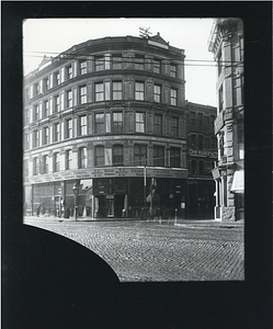
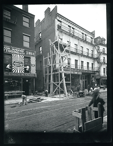
Canal Street progress view
4.
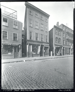
Canal Street progress view, south from Causeway Street
5.
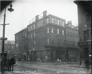
Causeway Street at Canal Street
6.
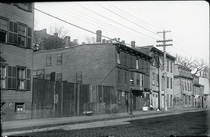
Causeway Street between Canal and Haverhill Streets
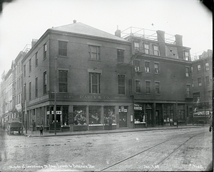
7.
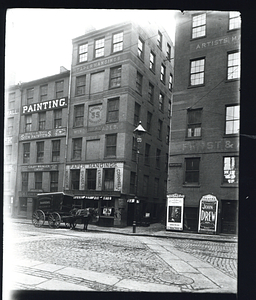
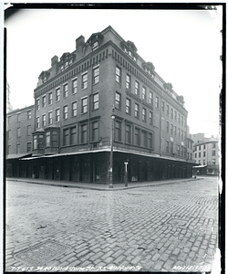
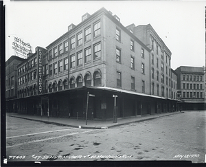
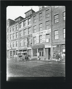
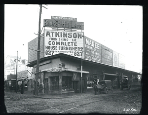
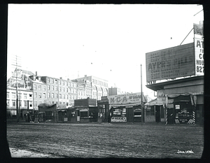
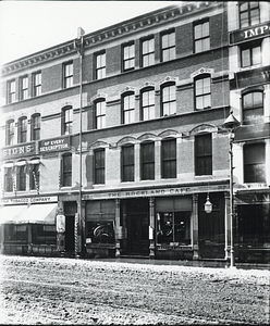
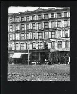
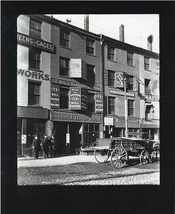
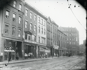
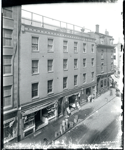
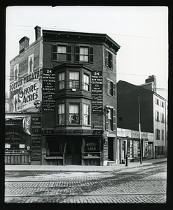
The Rockland Cafe, 27 to 33 Washington Street
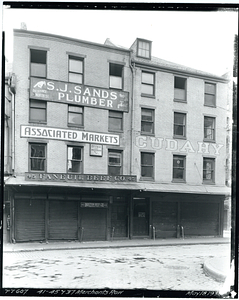
8.
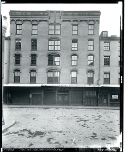
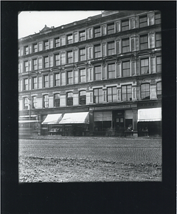
Thomas L. Smith and Sons
9.
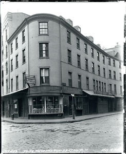
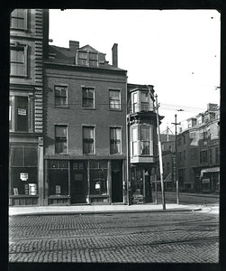
103 Washington Street
10.
107 Washington Street
11.
115 Washington Street
12.
333 Cambridge Street, Boston
13.
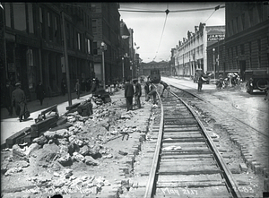
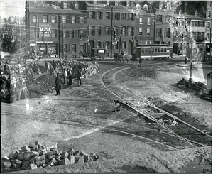
Accident on Causeway Street nearly opposite North Station
14.
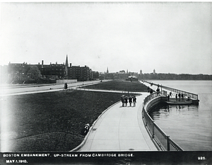
Boston embankment upstream from Cambridge Bridge
15.
Brattle Street and Adams Square
16.
Building on east side of Friend Street, corner of Hanover Street
17.
Buildings east side Washington Street Adams Square to 176
18.
Canal at Causeway Street
19.
Charles Street at Cambridge Street
20.
The Charlesbank from Craigie Bridge
21.
Cornhill Lunch Room
22.
Crawford House, corner of Court Street and Brattle Street., Scollay Square
23.
East bank Charles River between Craigie Bridge and West Boston Bridge from boat
24.
East side of Lowell Street near Causeway Street
25.
Eaton Street at Chambers Street
26.
Leverett Circle
27.
Looking towards the West End from Leverett Circle
28.
Miller Brothers and Company, 13 to 19 Washington Street
29.
North side of Causeway Street, corner of Billerica Street
30.
North side of Causeway Street from Lowell Street to Billerica Street
31.
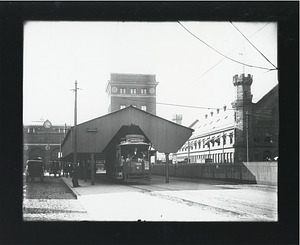
North Station
32.
Opposite North Station, street traffic
33.
Revere House
34.
Science Park station
35.
Tearing down the Parkman Market, built 1810, Cambridge Street at North Grove Street
36.
Tower on elevated, near North Station
37.
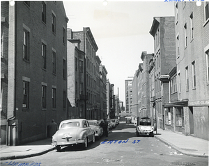
10 Barton Street south side near Lowell Street
38.
101 Milk Street
39.
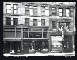
103 to 109 Summer Street
40.
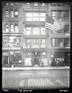
105 State Street
41.
110-118 Tremont Street
42.
115 to 123 Haverhill Street
43.
118 to 122 Tremont Street at Hamilton Place
44.
12 Shawmut Avenue
45.
12 Washington Street
46.
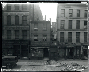
124 North Street
47.
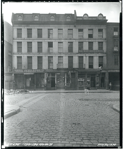
128-136 North Street
48.
130-136 Richmond Street
49.
132 Marginal Street, East Boston
50.
141 Court Street
51.
142-150 Richmond Street and Richmond Street Square to 275 Hanover Street
52.
149-157 Summer Street
53.
152 North Street
54.
152-178 North Street and 130 Richmond Street
55.
154 Marginal Street, East Boston
56.
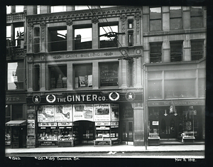
159-169 Summer Street
57.
160-166 North Street taken between 10 and 11 AM
58.
162-166 North Street
59.
167-175 Summer Street
60.
17 1/2-22 John Street and 24 John Street to 67-73 North Street
61.
174-178 North Street and 130-150 Richmond Street
62.
175-177 Rutherford Avenue, Charlestown
63.
182-184 State Street, Fifty Associates
64.
185-179 Summer Street
65.
190-200 Tremont Street at southeast corner of Boylston Street
66.
196-204 State Street
67.
200 Boylston Street
68.
201-189 State Street
69.
201-207 Hanover Street and 84 Cross Street
70.
209-215 Tremont Street, corner Van Rensselaer Place
71.
2-18 A Street
72.
220 Tremont Street
73.
220-234 Tremont Street
74.
22-28 Tremont Row
75.
227-215 State Street and 217-219 State Street
76.
229-231 State Street
77.
2-3-4 Joy Street
78.
239 Tremont Street at Eliot Street
79.
239-245 Tremont Street
80.
24 Shawmut Avenue
81.
245-251 Tremont Street
82.
25 Shawmut Avenue
83.
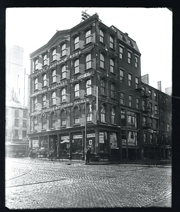
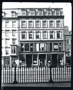
[28 Cornhill]
84.
29 City Square to Charles River Avenue, Charlestown
85.
297 Tremont Street
86.
303-311 Tremont Street
87.
308-310 North Street
88.
318-322 North Street
89.
34 Brattle Street
90.
34-40 Blackstone Street and 35-49 North Street
91.
35 Lawrence Street, Charlestown
92.
38 Brattle Street
93.
40-46 Washington Street
94.
41-45 Merchants Row
95.
42-48 Merchants Row
96.
44 to 55 Tremont Street
97.
46 Canal Street
98.
47-50 North Market Street and 40 Merchants Row
99.
50-52 Merchants Row and 23-27 North Street
100.
506 Commonwealth Avenue at southwest corner Kenmore Street
« Previous
Next »
1
2
3
4
5
…
15
16
Limit your search
Subject
Streetscapes (Urban design)
596
Boston (Mass.)
527
Local transit
320
West End (Boston, Mass.)
142
South End (Boston, Mass.)
106
Construction projects
100
Dorchester (Boston, Mass.)
90
Local transit stations
86
more
Subject
»
Place
North and Central America
1,578
United States
1,578
Massachusetts
1,577
Boston
1,575
Suffolk (county)
1,575
South End
158
Downtown Crossing
138
Back Bay
130
more
Place
»
Format
Photographs
1,535
Documents
40
Drawings/Illustrations
4
Paintings
2
Maps/Atlases
1
Prints
1
Available to use
No known restrictions
1
Date
View distribution
Current results range from
1836
to
2018
Date range begin
Date range end
View larger »
Unknown
3
Collection
Public Works Department Photographs
1,361
Huntington Avenue Subway Photographs
56
West End Urban Renewal Photographs
53
Inquilinos Boricuas en Acción Records
23
East Boston Tunnel Photographs
15
Boston Elevated Photographs: North Station Lechmere
14
Dorchester Rapid Transit System Photographs
11
FayFoto Boston Photographs
8
more
Collection
»
Institution
Boston City Archives
1,537
Northeastern University Library
34
Historic New England
11
Boston Public Library
1

![[28 Cornhill]](https://bpldcassets.blob.core.windows.net/derivatives/metadata/commonwealth-oai:3j3341412/image_thumbnail_300.jpg)