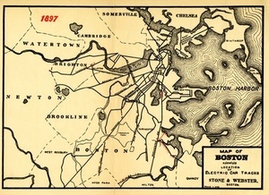
21. Map of Boston Showing the Location of Electric Car Tracks Creator: Stone & Webster Co Format: Maps/Atlases Collection: Historic Maps Date: 1898 Institution: Salem State University Archives and Special Collections
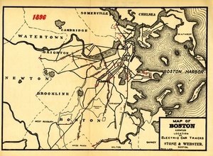
22. Map of Boston Showing the Location of Electric Car Tracks Creator: Stone & Webster Co Format: Maps/Atlases Collection: Historic Maps Date: 1898 Institution: Salem State University Archives and Special Collections
23. Boston I Creator: Wagner & Debes; Wagner & Debes Format: Maps/Atlases Collection: Mapping Boston Collection / Norman B. Leventhal Map Center Collection Date: [1906] Institution: Boston Public Library
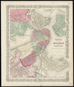
24. Colton's Map of Boston and Adjacent Cities. Creator: J.H. Colton & Co Format: Maps/Atlases Collection: Historic Maps Date: 1855 Institution: Salem State University Archives and Special Collections
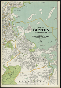
25. Map of Boston and Suburbs Creator: Walker Lith. & Pub. Co Format: Maps/Atlases Collection: Historic Maps Date: 1909 Institution: Salem State University Archives and Special Collections
26. Plan of Boston. Creator: Mitchell, S. Augustus Format: Maps/Atlases Collection: Historic Maps Date: 1870 Institution: Salem State University Archives and Special Collections
27. Map of Boston inner harbor to accompany report under chapter 93, resolves of 1907, December 1, 1907 Creator: Board of Harbor and Land Commissioners of Massachusetts Format: Maps/Atlases Collection: Boston and New England Maps (Collection of Distinction) / Norman B. Leventhal Map Center Collection Date: [1907] Institution: Boston Public Library
28. Metropolitan district - inner section : population of cities & towns by five year periods from 1910 to 1925 Creator: Massachusetts. Division of Metropolitan Planning Format: Maps/Atlases Collection: Boston and New England Maps (Collection of Distinction) / Norman B. Leventhal Map Center Collection / Urban Maps (Collection of Distinction) Date: 1926 Institution: Boston Public Library
29. Bay State Street Ry. Co's lines and connections Creator: Bay State Street Railway Company Format: Maps/Atlases Collection: Boston and New England Maps (Collection of Distinction) / Norman B. Leventhal Map Center Collection Date: [ca. 1917] Institution: Boston Public Library
30. Boston personal income ; Boston personal income [and] residential population density Creator: Passonneau, Joseph; Wurman, Richard Saul, 1935- Format: Maps/Atlases Collection: Boston and New England Maps (Collection of Distinction) / Norman B. Leventhal Map Center Collection Date: 1966 Institution: Boston Public Library


![Boston personal income ; Boston personal income [and] residential population density](https://bpldcassets.blob.core.windows.net/derivatives/images/commonwealth:fn107c409/image_thumbnail_300.jpg)