Search


Limit your search
- City planning--Massachusetts--Boston--Maps417
- Boston (Mass.)--Maps261
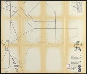
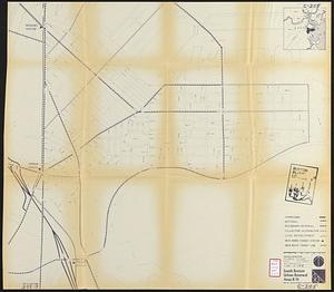
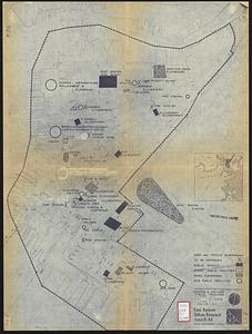
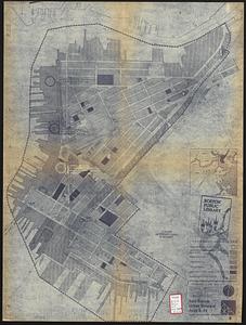
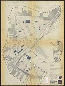
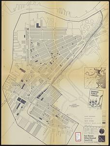
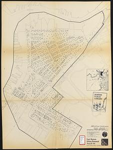
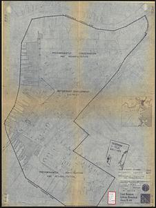
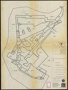
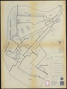
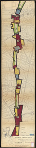
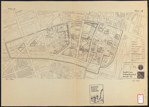
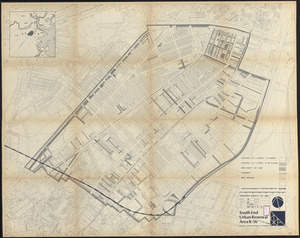
- Urban renewal--Massachusetts--Boston--Maps253
- Real property--Massachusetts--Boston--Maps172
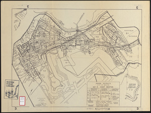
- East Boston (Boston, Mass.)--Maps157
- Landowners--Massachusetts--Boston--Maps113
- Land use--Massachusetts--Boston--Maps101
- Buildings--Massachusetts--Boston--Maps82
- North and Central America61,367
- United States61,361
- Massachusetts60,688
- Suffolk (county)43,455
- Boston43,454
- Worcester (county)12,913
- Worcester12,825
- Dorchester6,454