Skip to search
Skip to main content
Skip to first result
Digital Commonwealth
Folders
Sign Up / Log In
Search for
Search
Search
Search
Basic
Advanced
Explore
Map
Collections
Institutions
Formats
For Educators
Primary Source Sets
Lesson Plans
Using Primary Sources
Searching Digital Commonwealth
For Institutions
Join Digital Commonwealth
Conferences, Trainings, & Events
How to Contribute Collections
Digitization Services
Board & Committees
Frequently Asked Questions
About
About Digital Commonwealth
News & Announcements
Copyright & Terms of Use
Harmful Content Statement
Partners
API
Contact Us
Search
Search Constraints
Start Over
Save Search
Your search:
More Like
commonwealth:rr173g25m
✖
Remove constraint More Like: commonwealth:rr173g25m
« Prev.
|
10,601
-
10,700
of
11,000
|
Next »
Sort
by relevance
relevance
title
date (asc)
date (desc)
Number of results to display per page
100
per page
per page
10
per page
20
per page
50
per page
100
per page
View results as:
List
list view
Maps
map view
Gallery
grid view
Search Results
10601.
Vermont
10602.
Vermont, from actual survey : with all the late additions & improvements
10603.
Vermont from actual survey
10604.
Vermont from actual survey
10605.
Vernon County, Wis.
10606.
Veromandui le Vermandois : Evesché de Noyon ou sont les Comté et Pairrie de Noyon : Balliages et Prevostés de Noyon, Chauny,...
10607.
Veromanduorum eorum que confinium exactissima descriptio
10608.
Vertical sections to accompany the geological map of the Boulder Belt, East Coolgardie, G.F.
10609.
Vesconte de Maiollo conposuy hanc cartan in Janua anno dñy. 1587. die xx. Decenbris
10610.
Vestigie di Roma antica per gli annali della stessa città
10611.
Via RCA : a direct marine radio service to and from ships at sea
10612.
Viaggio ai tre laghi Maggiore, di Lugano e di Como al Monte Rosa, al Sempione ed al Sacro Monte di Varallo
10613.
Vicksburg and its defences : constructed and engraved to illustrate "The war with the South"
10614.
Victoria
10615.
Victoria
10616.
Victory map
10617.
Victory map 1919
10618.
The victory war map
10619.
Viennense territorium ob res bellicas inter Christianos et Turcas nuperrime editum
10620.
Vieux Paris et ses monuments (XVIIe siècle) : avec le tracé de ses limites sous Philippe-Auguste, Charles VI, Louis XII et...
10621.
A view from the south eastward of Halifax Harbor : Appearance of the shore, (at three miles off,) four or five leagues to the...
10622.
View of Amherst, Mass
10623.
View of Andover, Massachusetts : 1882
10624.
View of Ansonia, Conn : 1875
10625.
View of Ashland, Mass : 1878
10626.
View of Athol, Mass : 1878
10627.
View of Attleborough, Mass : East Village, 1878
10628.
View of Bethel, Conn
10629.
View of Beverly, Mass
10630.
A view of Boston
10631.
View of Boston freight terminals, the New York, New Haven & Hartford Railroad
10632.
View of Boston, July 4th 1870
10633.
A view of Boston taken on the road to Dorchester
10634.
View of Bristol, Conn
10635.
View of Canton, Mass : 1878
10636.
View of Cape Egmont and winter Rock from the eastward : Entrance of Egmont Harbor ; The entrance of Keppel Harbor, 10 leagues...
10637.
View of Chatham : New Brunswick
10638.
View of Cheshire, Connecticut : 1882
10639.
View of Chester, Connecticut : 1881
10640.
View of Clinton, Connecticut : 1881
10641.
View of College Point, L.I : 1876
10642.
View of Collinsville, Conn : 1878
10643.
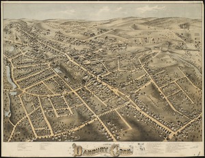
View of Danbury, Conn : 1875
10644.
View of Dedham, Mass. in 1876
10645.
View of East Boston, Mass : 1879
10646.
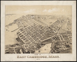
View of East Cambridge, Mass., 1879
10647.
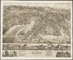
View of Essex, Centerbrook & Ivoryton, Conn : 1881
10648.
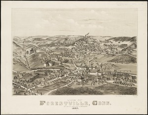
View of Forestville, Conn : 1880
10649.
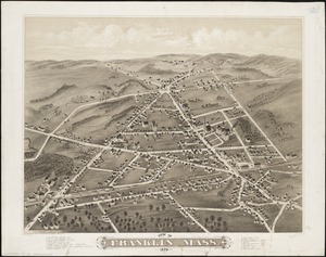
View of Franklin, Mass : 1879
10650.
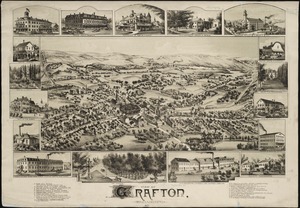
View of Grafton, Massachusetts : 1887
10651.
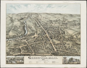
View of Greenfield, Mass
10652.
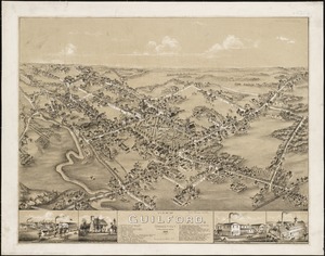
View of Guilford, Connecticut : 1881
10653.
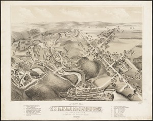
View of Hazardville, Connecticut
10654.
View of Higganum, Connecticut : 1881
10655.
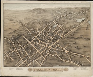
View of Holliston, Mass : 1878
10656.
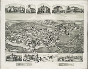
View of Hopedale, Massachusetts : 1888
10657.
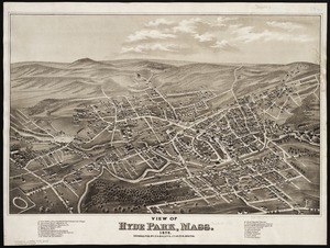
View of Hyde Park, Mass., 1879
10658.
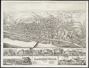
View of Lambertville, New Jersey
10659.
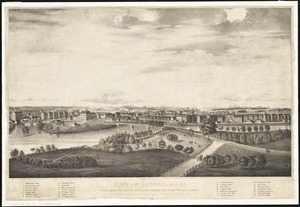
View of Lowell, Mass : taken from the house of Elisha Fuller Esq. in Dracut
10660.
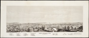
View of Lynn, Mass. in 1849 : from High Rock
10661.
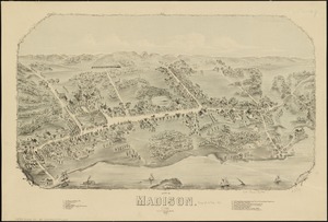
View of Madison, Conn : 1881
10662.
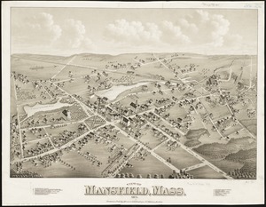
View of Mansfield, Mass : 1879
10663.
View of Marlborough, Mass : 1879
10664.
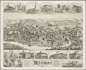
View of Medway, Massachusetts : 1887
10665.
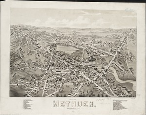
View of Methuen, Massachusetts : 1882
10666.
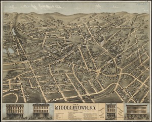
View of Middletown, N.Y : 1874
10667.
View of Milford, Conn : 1882
10668.
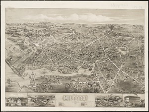
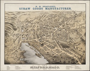
View of Milford, Mass : 1876
10669.
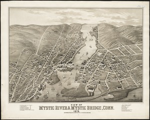
View of Mystic River & Mystic Bridge, Conn. 1879
10670.
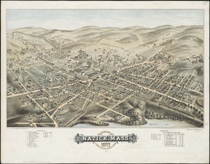
View of Natick, Mass : 1877, population about 8000
10671.
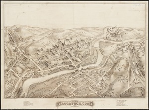
View of Naugatuck, Conn : 1877
10672.
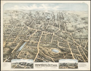
View of New Britain, Conn : 1875
10673.
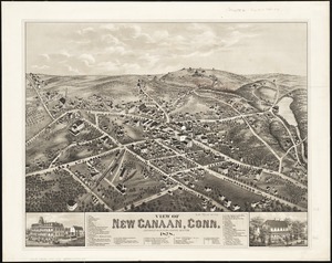
View of New Canaan, Conn : 1878
10674.
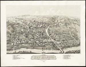
View of New Milford, Conn : 1882
10675.
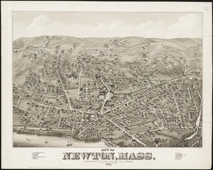
View of Newton, Mass : comprising Wards 1 & 7 & environs of the city of Newton
10676.
View of North Easton, Massachusetts, 1881
10677.
View of North Manchester, Connecticut : 1880
10678.
View of Northborough, Massachusetts : 1887
10679.
View of Oneida, N.Y : 1874
10680.
View of Palmer, Mass
10681.
A view of part of the town of Boston in New-England and Brittish [sic] ships of war landing their troops! 1768
10682.
View of Peabody, Mass : 1877
10683.
A view of Port Hood, sailing into the harbor : A view of the Plaister Cliffs, in George's Bay
10684.
A view of Portsmouth in Piscataqua River
10685.
View of Public Square, Atlanta, Ga.
10686.
View of Putnam, Conn : 1877
10687.
View of Randolph, Mass : 1882
10688.
View of Rockville, Conn : 1877
10689.
View of Saxonville, Mass
10690.
View of Sea Isle City : New Jersey
10691.
View of Seymour, Conn : 1879
10692.
View of Somerset, Massachusetts
10693.
View of South Braintree, Massachusetts : 1882
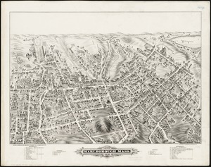
10694.
View of South Coventry, Conn : 1878
10695.
View of Southbridge, Mass : Center & Globe Village, 1878
10696.
View of SoWa food trucks
10697.
View of Springfield, Mass : 1875
10698.
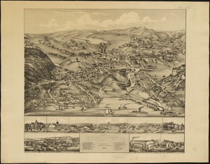
View of Stafford Springs, Conn : 1878
10699.
View of Stamford, Conn : 1875
10700.
View of Stoneham, Mass : 1878
« Previous
Next »
1
2
…
103
104
105
106
107
108
109
110
Limit your search
Subject
Real property--Massachusetts--Boston--Maps
2,278
Landowners--Massachusetts--Boston--Maps
2,117
Boston (Mass.)--Maps
1,967
Roxbury (Boston, Mass.)--Maps
351
Dorchester (Boston, Mass.)--Maps
317
Cambridge (Mass.)--Maps
266
Brookline (Mass.)--Maps
236
Real property--Massachusetts--Cambridge--Maps
216
more
Subject
»
Place
North and Central America
7,814
United States
6,433
Suffolk (county)
3,337
Boston
3,197
Massachusetts
3,166
Europe
963
Middlesex (county)
617
Canada
427
more
Place
»
Format
Maps/Atlases
10,941
Manuscripts
215
Prints
51
Books
35
Objects/Artifacts
10
Drawings/Illustrations
8
Posters
4
Available to use
No known restrictions
10,933
Creative Commons license
45
Date
View distribution
Current results range from
1482
to
2023
Date range begin
Date range end
View larger »
Collection
Norman B. Leventhal Map Center Collection
10,999
Boston and New England Maps (Collection of Distinction)
5,105
Urban Maps (Collection of Distinction)
4,847
Maritime Charts and Atlases (Collection of Distinction)
750
American Revolutionary War-Era Maps (Collection of Distinction)
615
Boston Redevelopment Authority Collection
87
Institution
Boston Public Library
11,000


![A view of part of the town of Boston in New-England and Brittish [sic] ships of war landing their troops! 1768](https://bpldcassets.blob.core.windows.net/derivatives/images/commonwealth:4m90f851p/image_thumbnail_300.jpg)


