Skip to search
Skip to main content
Skip to first result
Digital Commonwealth
Folders
Sign Up / Log In
Search for
Search
Search
Search
Basic
Advanced
Explore
Map
Collections
Institutions
Formats
For Educators
Primary Source Sets
Lesson Plans
Using Primary Sources
Searching Digital Commonwealth
For Institutions
Join Digital Commonwealth
Conferences, Trainings, & Events
How to Contribute Collections
Digitization Services
Board & Committees
Frequently Asked Questions
About
About Digital Commonwealth
News & Announcements
Copyright & Terms of Use
Harmful Content Statement
Partners
API
Contact Us
Search
Search Constraints
Start Over
Save Search
Your search:
More Like
commonwealth:p2676z627
✖
Remove constraint More Like: commonwealth:p2676z627
« Prev. |
1
-
20
of
1,149
|
Next »
Sort
by relevance
relevance
title
date (asc)
date (desc)
Number of results to display per page
20
per page
per page
10
per page
20
per page
50
per page
100
per page
View results as:
List
list view
Maps
map view
Gallery
grid view
Search Results
1.
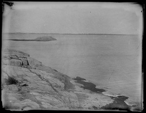
Beach
2.
Norman’s Woe, July 1893
3.
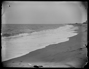
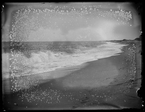
Surf, Plum Island
4.
Surf, Plum Island
5.
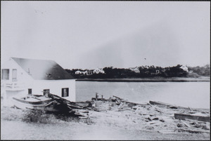
1944 Hurricane, Bass River
6.
1944 Hurricane, Bass River
7.
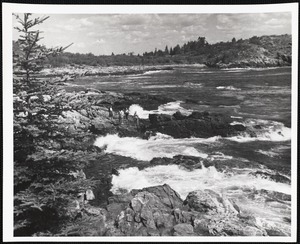
Acadia National Park, ME. Near Anemone Cave
8.
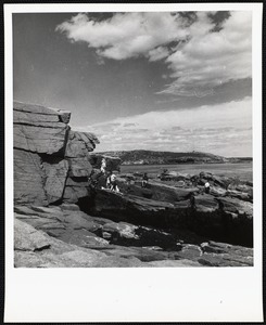
Acadia National Park, ME. Thunder Hole
9.
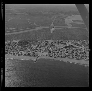
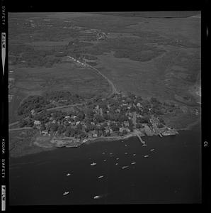
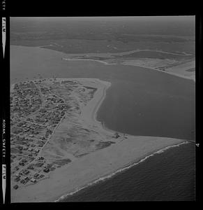
Aerial of Plum Island center erosion
10.
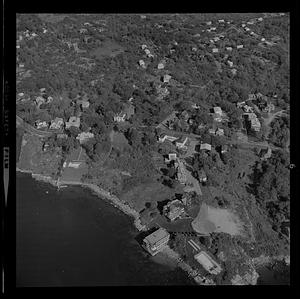
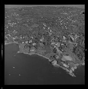
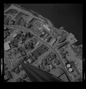
Aerial of Plum Island center erosion or Gloucester harbor
11.
Aerial of Plum Island center erosion or Gloucester harbor
12.
Aerial of Plum Island center erosion or Gloucester harbor
13.
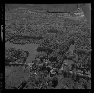
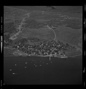
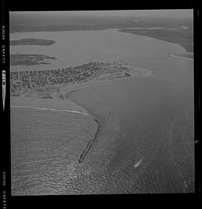
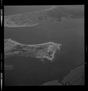
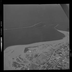
Aerial of Plum Island Point and Ring’s Island river mouth erosion
14.
Aerial of Plum Island Point and Ring’s Island river mouth erosion
15.
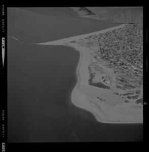
Aerial of Plum Island Point and Ring’s Island river mouth erosion
16.
Aerial of Plum Island Point and Ring’s Island river mouth erosion
17.
Aerial of Plum Island Point and Ring’s Island river mouth erosion
18.
Aerial of Plum Island Point and Ring’s Island river mouth erosion
19.
Aerial of Plum Island Point and Ring’s Island river mouth erosion
20.
Aerial of Plum Island Point and Ring’s Island river mouth erosion
« Previous
Next »
1
2
3
4
5
…
57
58
Limit your search
Subject
Coastlines
878
Bodies of water
182
Houses
151
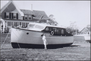
Boats
115
Rivers
105
Beaches
104
Seas
94
Piers & wharves
66
more
Subject
»
Place
North and Central America
746
United States
731
Massachusetts
544
Barnstable (county)
185
Essex (county)
153
Yarmouth
97
South Yarmouth
86
Plum Island
84
more
Place
»
Format
Photographs
840
Postcards/Cards
178
Prints
75
Maps/Atlases
37
Posters
12
Paintings
11
Drawings/Illustrations
7
Albums/Scrapbooks
3
more
Format
»
Available to use
No known restrictions
527
Creative Commons license
312
Date
View distribution
Current results range from
1764
to
2001
Date range begin
Date range end
View larger »
Unknown
1
Collection
Edgar Sutton Dorr Photograph Collection
275
Historical Society of Old Yarmouth Archives and Local History Collection
154
Bill Lane Photograph Collection
107
Stereograph Collection
84
Tichnor Brothers Postcard Collection
84
Leslie Jones Collection
55
Arthur Griffin Photographs
51
Basil Welch Collection
35
more
Collection
»
Institution
Boston Public Library
628
Historical Society of Old Yarmouth
165
Newburyport Public Library
107
Griffin Museum of Photography
51
Phillips Library at the Peabody Essex Museum
36
Martha's Vineyard Museum
35
Atwood Museum of the Chatham Historical Society
27
Hingham Public Library
24
more
Institution
»