Search


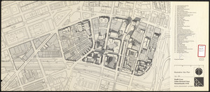


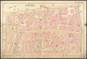
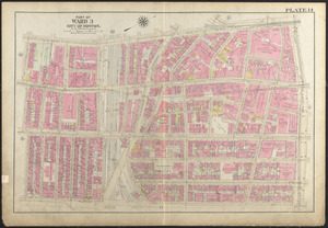
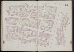
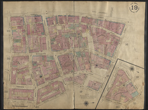
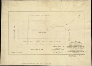
![[Plan of lots in Chinatown (Boston), between Avery and Eliot Streets, and Tremont Street and Harrison Avenue]](https://bpldcassets.blob.core.windows.net/derivatives/images/commonwealth:cj82kz565/image_thumbnail_300.jpg)


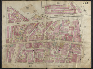

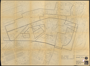
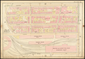
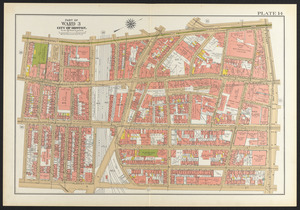
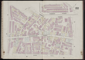
![[Plan of lots in Chinatown, between Broad and Front Streets, and Beach and Orange Streets, Boston]](https://bpldcassets.blob.core.windows.net/derivatives/images/commonwealth:9s161h46q/image_thumbnail_300.jpg)


Limit your search
- Real property--Massachusetts--Boston--Maps2,355
- Landowners--Massachusetts--Boston--Maps2,125
- Boston (Mass.)--Maps1,600
- City planning--Massachusetts--Boston--Maps417
- Roxbury (Boston, Mass.)--Maps362
- Dorchester (Boston, Mass.)--Maps312
- Tufts-New England Medical Center291
- Chinese Americans--Massachusetts--Boston283
- North and Central America63,742
- United States63,736
- Massachusetts62,955
- Suffolk (county)45,831
- Boston45,830
- Worcester (county)12,913
- Worcester12,825
- Dorchester6,778