Skip to search
Skip to main content
Skip to first result
Digital Commonwealth
Folders
Sign Up / Log In
Search for
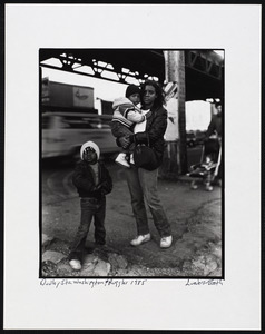
Search
Search
Search
Basic
Advanced
Explore
Map
Collections
Institutions
Formats
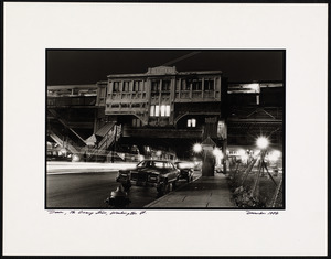
For Educators
Primary Source Sets
Lesson Plans
Using Primary Sources
Searching Digital Commonwealth
For Institutions
Join Digital Commonwealth
Conferences, Trainings, & Events
How to Contribute Collections
Digitization Services
Board & Committees
Frequently Asked Questions
About
About Digital Commonwealth
News & Announcements
Copyright & Terms of Use
Harmful Content Statement
Partners
API
Contact Us
Search
Search Constraints
Start Over
Save Search
Your search:
More Like
commonwealth:mp48vm85v
✖
Remove constraint More Like: commonwealth:mp48vm85v
« Prev. |
1
-
100
of
13,760
|
Next »
Sort
by relevance
relevance
title
date (asc)
date (desc)
Number of results to display per page
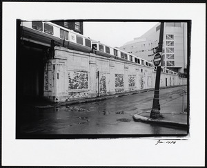
100
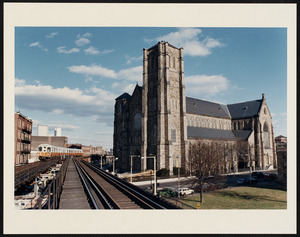
per page
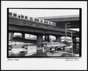
per page
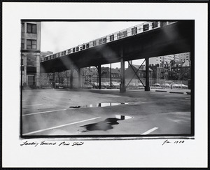
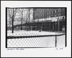
10
per page
20
per page
50
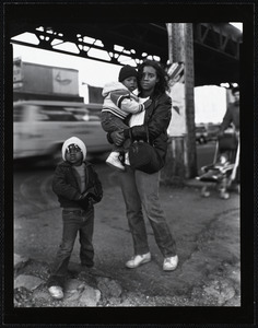
per page
100
per page
View results as:
List
list view
Maps
map view
Gallery
grid view
Search Results
1.
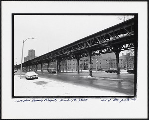
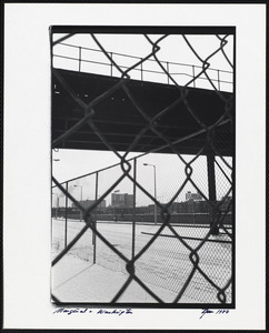
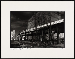
Cathedral housing project, Washington Street, one of two prints
2.
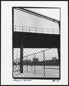
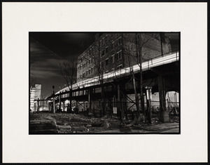
Two of two prints - Cathedral housing project, Washington Street
3.
Chinatown
4.
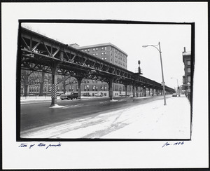
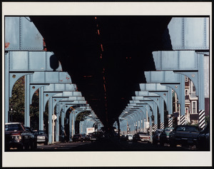
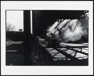
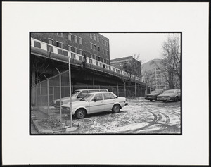
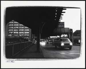
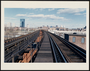
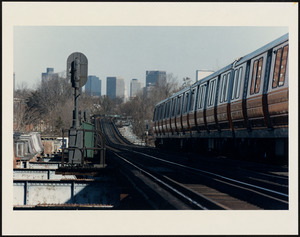
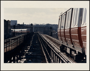
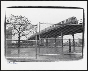
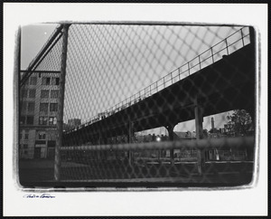
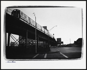
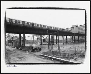
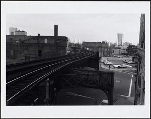
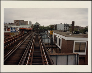
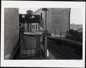
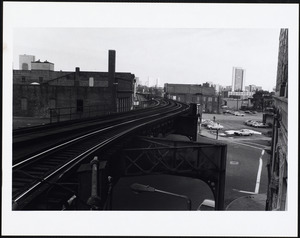
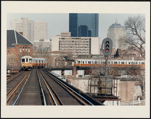
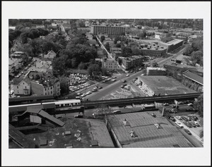
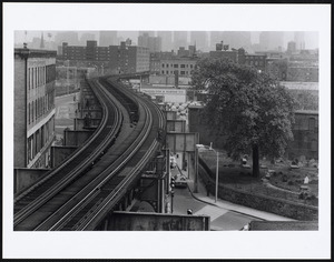
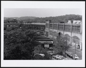
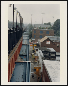
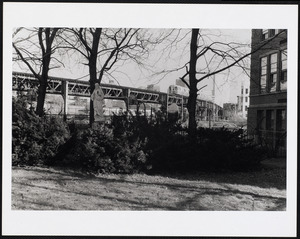
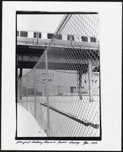
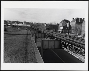
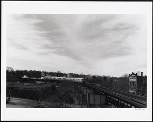
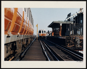
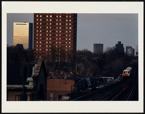
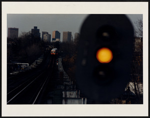
Elevated subway supports, Jamaica Plain
5.
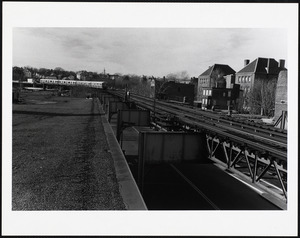
Marginal Street
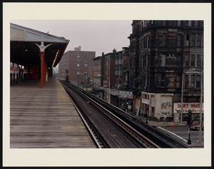
6.
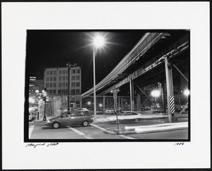
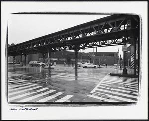
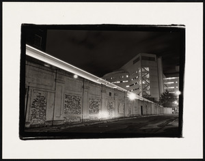
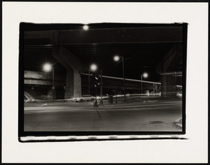
Near Cathedral
7.
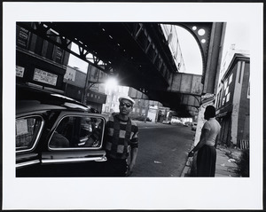
Near Dudley Square
8.
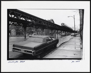
Washington Street
9.
Washington Street
10.
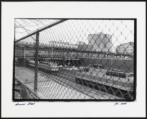
Washington Street at Herald
11.
Washington Street, Roxbury
12.
Onboard, Cathedral projects, South End, Boston, MA
13.
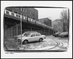
Cars driving below the elevated tracks
14.
Chinatown
15.
Chinatown
16.
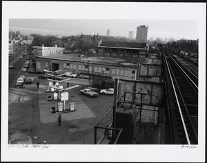
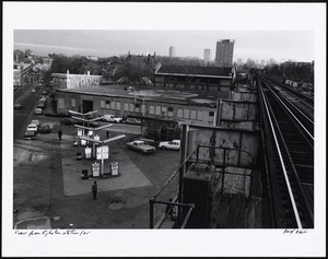
Dover Station
17.
Dover, the Orange Line, Washington St.
18.
Dudley Station, Washington & Ruggles
19.
Dudley Station, Washington & Ruggles
20.
Forest Hills
21.
Forest Hills
22.
Morses Fish Market
23.
Northampton Station
24.
Orange Line, Boston, Massachusetts
25.
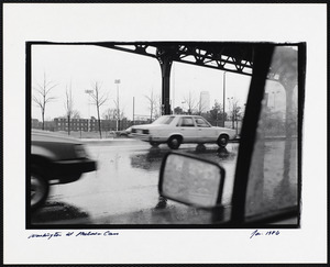
Washington at Melnea Cass
26.
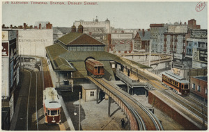
778 Elevated terminal station, Dudley Street
27.
Between Dudley + Northampton
28.
Between Dudley and Northampton
29.
Between Egleston + Dudley
30.
Between Egleston and Green
31.
Between Egleston and Green
32.
Between Northampton + Dudley
33.
Chinatown
34.
Chinatown
35.
Chinatown
36.
Chinatown
37.
Circuit Road and Elevated Orange Line, Roxbury
38.
Coming into Egleston Station
39.
Dover Station
40.
Dover Station
41.
Dover Station
42.
Dudley platform, outbound
43.
Dudley platform, outbound
44.
Dudley St., accident, 2nd car
45.
Dudley Station
46.
Dudley Station
47.
Dudley Station, inbound platform
48.
Dudley Station looking inbound
49.
Egleston between Egleston + Dudley
50.
Egleston Station
51.
Egleston Station, view down Columbus Avenue
52.
Egleston Station, view of Columbus Avenue + elevated track
53.
Eustis St. Burying Ground
54.
Forest Hill Station
55.
Forest Hills
56.
Forest Hills from the control tower
57.
Forest Hills Station
58.
From Green Street Station - west
59.
From the Green Street platform, looking toward Egleston
60.
Green Street Station
61.
Herald Street
62.
In front of Cathedral H.S.
63.
Jan. 1986
64.
Looking toward Pine Street
65.
Marginal & Washington
66.
Marginal & Washington
67.
Marginal looking toward Joshua Quincy
68.
El near Dudley, looking southwest
69.
Near Dudley Station, looking southwest
70.
Near Dudley Station, southwest view of elevated tracks
71.
Northampton Station
72.
Northampton Station
73.
Northampton Station
74.
Northampton Station
75.
Oak Street
76.
Oak Street
77.
Oak Street
78.
Oak Street looking toward Pine St.
79.
Oak Street looking toward Pine Street
80.
The Orange Line at Holy Cross Church
81.
Orange Line, Dudley Square
82.
Orange Line, Egleston Square
83.
Orange Line, Eustis + Washington Streets
84.
Orange Line from Cathedral project
85.
Orange Line, Roxbury, between Egleston and Dudley
86.
Orange Line, Roxbury Station between Egleston and Dudley
87.
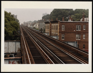
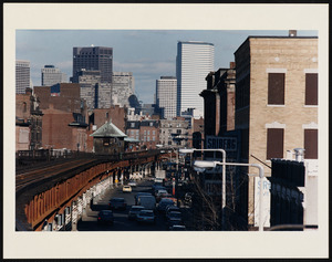
Orange Line trains running on elevated tracks
88.
Orange Line, Washington Street + Eustis
89.
Standing on Pine Street
90.
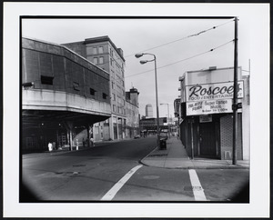
Street corner with Roscoe's, Dudley Square
91.
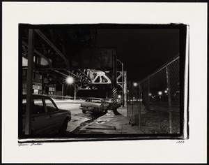
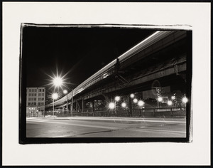
Train running on elevated tracks at night
92.
Train running on elevated tracks at night
93.
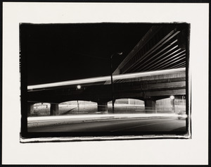
Underneath the elevated tracks at night
94.
View from Egleston Square, outbound
95.
The view from Egleston Station
96.
View from Egleston Station
97.
View from Northampton Station, inbound
98.
View of Egleston Station
99.
View of Egleston Station
100.
View of Washington St. to Egleston Station
« Previous
Next »
1
2
3
4
5
…
137
138
Limit your search
Subject
Cities & towns
7,955
Automobiles
4,321
Streets
1,439
Housing
997
Houses
961
Rivers
687
Buildings
683
Freedom House (Roxbury, Boston, Mass.)
649
more
Subject
»
Place
North and Central America
11,440
United States
11,300
Massachusetts
9,017
Suffolk (county)
3,934
Boston
3,713
Essex (county)
1,652
Norfolk (county)
1,599
Europe
1,144
more
Place
»
Format
Photographs
9,312
Postcards/Cards
2,517
Prints
1,118
Documents
623
Letters/Correspondence
148
Drawings/Illustrations
136
Film/Video
119
Manuscripts
87
more
Format
»
Available to use
No known restrictions
5,895
Creative Commons license
2,616
Date
View distribution
Current results range from
1709
to
2019
Date range begin
Date range end
View larger »
Unknown
34
Collection
Tichnor Brothers Postcard Collection
1,920
Bill Lane Photograph Collection
1,096
Needham Historical House Collection
978
Freedom House, Inc. Records
654
Boston Pictorial Archive (Collection of Distinction)
653
Spencer Grant Collection
495
British Artists
485
Leslie Jones Collection
482
more
Collection
»
Institution
Boston Public Library
7,461
Newburyport Public Library
1,096
Needham Free Public Library
979
Northeastern University Library
705
Thomas Crane Public Library
398
Griffin Museum of Photography
390
Phillips Library at the Peabody Essex Museum
287
Historical Society of Old Yarmouth
221
more
Institution
»