Skip to search
Skip to main content
Skip to first result
Digital Commonwealth
Folders
Sign Up / Log In
Search for
Search
Search
Search
Basic
Advanced
Explore
Map
Collections
Institutions
Formats
For Educators
Primary Source Sets
Lesson Plans
Using Primary Sources
Searching Digital Commonwealth
For Institutions
Join Digital Commonwealth
Conferences, Trainings, & Events
How to Contribute Collections
Digitization Services
Board & Committees
Frequently Asked Questions
About
About Digital Commonwealth
News & Announcements
Copyright & Terms of Use
Harmful Content Statement
Partners
API
Contact Us
Search
Search Constraints
Start Over
Save Search
Your search:
More Like
commonwealth:9s161g83n
✖
Remove constraint More Like: commonwealth:9s161g83n
« Prev.
|
7,421
-
7,440
of
10,999
|
Next »
Sort
by relevance
relevance
title
date (asc)
date (desc)
Number of results to display per page
20
per page
per page
10
per page
20
per page
50
per page
100
per page
View results as:
List
list view
Maps
map view
Gallery
grid view
Search Results
7421.
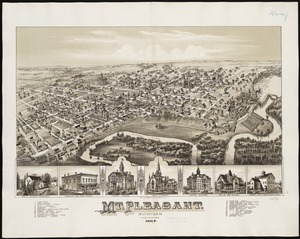
Mt. Pleasant, Michigan : 1884
7422.
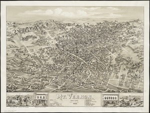
Mt. Vernon : New York, 1883
7423.
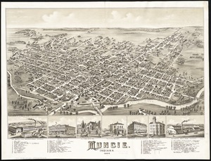
Muncie, Indiana : 1884
7424.
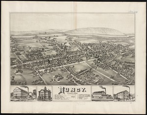
Muncy : Pennsylvania
7425.
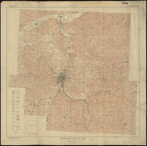
Muskingum County, Ohio
7426.
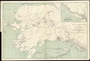
M.W. Bruce's map of Alaska
7427.
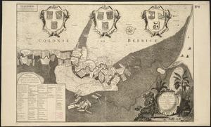
Naaukeurige platte grond van den staat loop van Rio de Berbice met derzelver plantagien in de geoctrojeerde colonie de Berbice
7428.
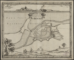
Nackschouia Lalandiae oppidum, quod praesidio 1600 Danorum munitu sine ullo conflictu S. R. M. Sueciae arbitrio se permisit. 8....
7429.
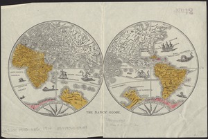
The Nancy globe
7430.
Nanitz' great mercantile map of Boston
7431.
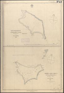
Nanouti, Bishop or Sydenhams Island, Kingsmill Group ; Makin and Tari Tari Is. or Pitts and Touching Is., Kingsmill Group
7432.
Nantucket
7433.
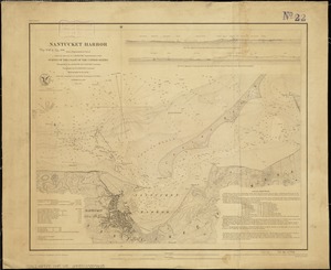
Nantucket Harbor
7434.
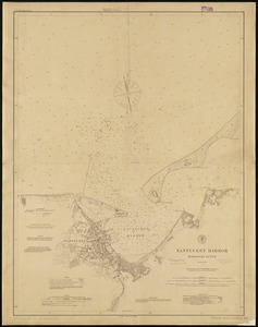
Nantucket Harbor, Massachusetts
7435.
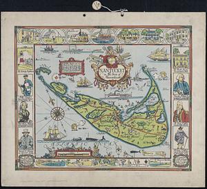
Nantucket in the state of Massachusetts
7436.
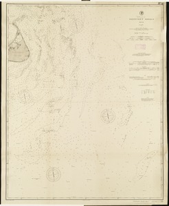
Nantucket Shoals, Mass
7437.
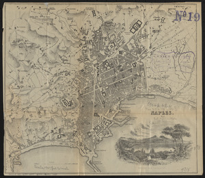
Naples
7438.
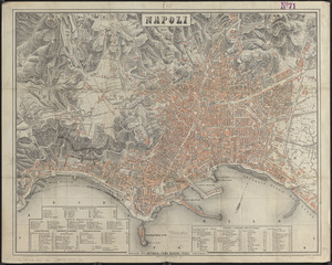
Napoli
7439.
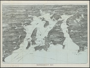
Narragansett Bay
7440.
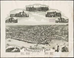
Narragansett Pier, Rhode Island : 1888
« Previous
Next »
1
2
…
368
369
370
371
372
373
374
375
376
…
549
550
Limit your search
Subject
Real property--Massachusetts--Boston--Maps
2,278
Landowners--Massachusetts--Boston--Maps
2,117
Boston (Mass.)--Maps
1,966
Roxbury (Boston, Mass.)--Maps
351
Dorchester (Boston, Mass.)--Maps
317
Cambridge (Mass.)--Maps
266
Brookline (Mass.)--Maps
236
Real property--Massachusetts--Cambridge--Maps
216
more
Subject
»
Place
North and Central America
7,813
United States
6,432
Suffolk (county)
3,337
Boston
3,197
Massachusetts
3,166
Europe
963
Middlesex (county)
617
Canada
427
more
Place
»
Format
Maps/Atlases
10,940
Manuscripts
215
Prints
51
Books
35
Objects/Artifacts
10
Drawings/Illustrations
8
Posters
4
Available to use
No known restrictions
10,931
Creative Commons license
46
Date
View distribution
Current results range from
1482
to
2023
Date range begin
Date range end
View larger »
Collection
Norman B. Leventhal Map Center Collection
10,999
Boston and New England Maps (Collection of Distinction)
5,104
Urban Maps (Collection of Distinction)
4,845
Maritime Charts and Atlases (Collection of Distinction)
750
American Revolutionary War-Era Maps (Collection of Distinction)
615
Boston Redevelopment Authority Collection
86
Institution
Boston Public Library
10,999