Search


Limit your search
- North and Central America8,039
- United States6,656
- Suffolk (county)3,558
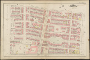
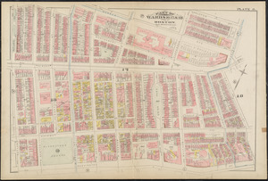
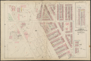
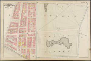
- Boston3,418
- Massachusetts3,244
- Europe963
- Middlesex (county)619
- Canada427
- Norman B. Leventhal Map Center Collection11,028
- Boston and New England Maps (Collection of Distinction)5,239
- Urban Maps (Collection of Distinction)4,975
- Maritime Charts and Atlases (Collection of Distinction)750
- American Revolutionary War-Era Maps (Collection of Distinction)625
- Boston Redevelopment Authority Collection200
- Historic Maps49
- Mapping Boston Collection20