Skip to search
Skip to main content
Skip to first result
Digital Commonwealth
Folders
Sign Up / Log In
Search for
Search
Search
Search
Basic
Advanced
Explore
Map
Collections
Institutions
Formats
For Educators
Primary Source Sets
Lesson Plans
Using Primary Sources
Searching Digital Commonwealth
For Institutions
Join Digital Commonwealth
Conferences, Trainings, & Events
How to Contribute Collections
Digitization Services
Board & Committees
Frequently Asked Questions
About
About Digital Commonwealth
News & Announcements
Copyright & Terms of Use
Harmful Content Statement
Partners
API
Contact Us
Search
Search Constraints
Start Over
Save Search
Your search:
More Like
commonwealth:5138jp43b
✖
Remove constraint More Like: commonwealth:5138jp43b
« Prev. |
1
-
20
of
2,667
|
Next »
Sort
by relevance
relevance
title
date (asc)
date (desc)
Number of results to display per page
20
per page
per page
10
per page
20
per page
50
per page
100
per page
View results as:
List
list view
Maps
map view
Gallery
grid view
Search Results
1.
Atlantic Coast, Cape Hatteras to Key West
2.
Atlantic Coast, Cape Sable to Cape Hatteras
3.
Atlantic Coast, Cape Sable to Cape Hatteras
4.
Chart of the coast of Africa from the Strait of Gibraltar to Sierra Leone
5.
Chart of the coast of China, from the Canton River to the Yang Tze Keang
6.
Coast of the United States from New York to Cape Ann
7.
Cuttyhunk to Block Island including Narragansett Bay
8.
Cuttyhunk to Block Island including Narragansett Bay
9.
East coast of Australia, New South Wales, Beecroft Head to Port Jackson
10.
East coast of Australia, New South Wales, Port Jackson to Port Stephens
11.
East coast of North America
12.
East coast of North America from Cape Canso to Delaware Bay
13.
From Chincoteague Inlet to Hog Island
14.
From Monomoy and Nantucket Shoals to Muskeget Channel
15.
General chart of the coast from Cape Hatteras to Cape Romain
16.
General chart of the coast from Cape Henry to Cape Lookout
17.
General chart of the coast from Cape Henry to Cape Lookout
18.
General chart of the coast from Cape Romain to Amelia Island
19.
A general chart of the southern Atlantic Ocean and western coast of South America
20.
Gulf of Mexico
« Previous
Next »
1
2
3
4
5
…
133
134
Limit your search
Subject
Seas
1,741
Coastlines
878
Boats
436
Bodies of water
357
Beaches
279
Storms
169
Rocks
164
Houses
151
more
Subject
»
Place
North and Central America
1,682
United States
1,656
Massachusetts
999
Essex (county)
417
Plum Island
222
Barnstable (county)
218
Maine
192
New Jersey
187
more
Place
»
Format
Photographs
1,081
Postcards/Cards
826
Prints
636
Maps/Atlases
177
Paintings
19
Posters
15
Drawings/Illustrations
14
Albums/Scrapbooks
4
more
Format
»
Available to use
No known restrictions
1,375
Creative Commons license
534
Date
View distribution
Current results range from
1764
to
2001
Date range begin
Date range end
View larger »
Unknown
1
Collection
Tichnor Brothers Postcard Collection
634
American Artists
475
Charles H. Woodbury (1864-1940). Prints, Drawings, Watercolors, Oil Paintings, and Copper Plates
391
Bill Lane Photograph Collection
318
Leslie Jones Collection
171
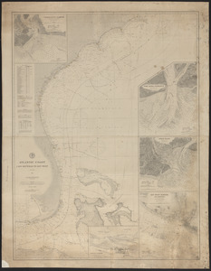
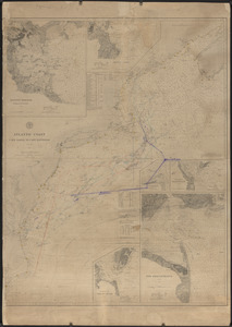
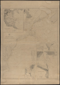
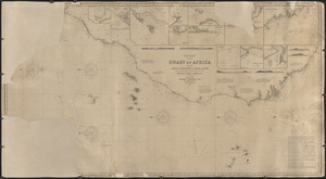
Nautical Chart Collection of the Chatham Historical Society
167
Historical Society of Old Yarmouth Archives and Local History Collection
155
Arthur Griffin Photographs
96
more
Collection
»
Institution
Boston Public Library
1,674
Newburyport Public Library
318
Atwood Museum of the Chatham Historical Society
167
Historical Society of Old Yarmouth
166
Griffin Museum of Photography
96
Phillips Library at the Peabody Essex Museum
61
Martha's Vineyard Museum
39
Hingham Public Library
24
more
Institution
»