Skip to search
Skip to main content
Skip to first result
Digital Commonwealth
Folders
Sign Up / Log In
Search for
Search
Search
Search
Basic
Advanced
Explore
Map
Collections
Institutions
Formats
For Educators
Primary Source Sets
Lesson Plans
Using Primary Sources
Searching Digital Commonwealth
For Institutions
Join Digital Commonwealth
Conferences, Trainings, & Events
How to Contribute Collections
Digitization Services
Board & Committees
Frequently Asked Questions
About
About Digital Commonwealth
News & Announcements
Copyright & Terms of Use
Harmful Content Statement
Partners
API
Contact Us
Search
Search Constraints
Start Over
Save Search
Your search:
More Like
commonwealth:4m90f405r
✖
Remove constraint More Like: commonwealth:4m90f405r
« Prev.
|
9,601
-
9,700
of
11,000
|
Next »
Sort
by relevance
relevance
title
date (asc)
date (desc)
Number of results to display per page
100
per page
per page
10
per page
20
per page
50
per page
100
per page
View results as:
List
list view
Maps
map view
Gallery
grid view
Search Results
9601.
Route of the Albany & West Stockbridge Rail Road
9602.
Route of the late expedition commanded by Act'g Rear Admiral D.D. Porter U.S.N. attempting to get into the Yazoo River by the...
9603.
Route of the Massachusetts nautical training ship Ranger, 1909
9604.
Route of the proposed Providence & Worcester rail-road
9605.
Route of the Providence and Worcester rail road
9606.
Routes of Grand Trunk Pacific Steamships : Pacific coast service
9607.
Le Royaume d'Angleterre : divisé selon les sept Royaumes, ou Heptarchie des Saxons, avec la Principauté de Galles, et...
9608.
Royaume de Danemarck : qui comprend le Nort-Jutland divisé en ses quatre dioceses, le Sud-Jutland divisé en ses deux duchés...
9609.
Le Royaume de Hongrie, divisé en Haute et Basse Hongrie, Transilvanie, Esclavonie et Croatie
9610.
Royaume d'Irlande : divisé en ses quatre provinces et subdivisé en comtés
9611.
Ruatan or Rattan
9612.
Rugby : belonging to Wood, Harmon & Co
9613.
Rumänien und Bulgarien
9614.
Rural cultural regions in the United States
9615.
Russell
9616.
Russell's map of Boston from the latest surveys : colored to show the burned district of the Great Fire Nov 9th & 10th 1872
9617.
Russell's map of Boston from the latest surveys
9618.
Russell's map of Massachusetts
9619.
Russell's map of Paris and fortifications
9620.
Russisch-Türkischer Kriegsschauplatz, 1877
9621.
Rutland, Vt
9622.
Sacræ Regiæ Majtis. Caroli Gustavi solennis ingressus, in urbem Landscrona habitus 7 Marij ao. 1658, cum vi pactorum Pacis...
9623.
Safatu or Sanaapu, island of Upolu ; Harbour of Falifa, island of Upolu
9624.
Safi-Marrakech
9625.
Saishin ōshū daichizu
9626.
Salem Depot, N.H : 1887
9627.
Salopiensis comitatus cum Staffordiensi : Shrop Shire & Staffordshire
9628.
Samoan Group--Tutuila Id.
9629.
Samoan or Navigator Islands
9630.
Samuel Thaxter & Son, manufacturers and importers of nautical and optical instruments, charts and nautical books; publishers of...
9631.
San Francisco
9632.
Sandwich Bay ... low water
9633.
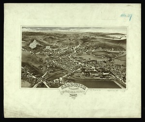
Sandwich Village, Barnstable County, Mass., looking west
9634.
Sandy-Bay, Mass
9635.
Sanford, Maine : looking east
9636.
Santiam National Forest, Oregon
9637.
Saratoga Springs and vicinity : scene of the inter-collegiate regatta : [see page 626]
9638.
Saskatchewan : map showing disposition of lands
9639.
Saskatchewan
9640.
Saskatchewan : map showing disposition of lands
9641.
Satsuma, Putnam County, Florida : the property of Whitney, Gold and Hodges
9642.
Sauk County, Wis.
9643.
Sault du Niagara de 135 pieds de haut
9644.
[Scandinavia]
9645.
Scarborough's map of Ontario : with an index of all cities, villages, post-offices and railway stations and population...
9646.
Scarborough's new county and post office map of Louisiana and Mississippi : with complete index giving population and location...
9647.
Scarborough's new county and post office map of Virginia, Maryland, Delaware, and District of Columbia : with complete index...
9648.
Scarborough's new railroad, post office, township and county map of New York with distances between stations
9649.
Scattergood's map of sixteen miles around Philadelphia
9650.
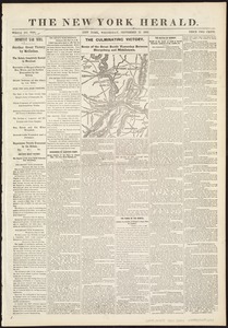
Scene of the great battle yesterday between Sharpsburg and Middletown
9651.
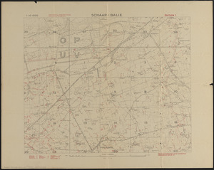
Schaap-balie
9652.
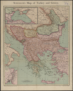
Schedler's map of Turkey and Greece
9653.
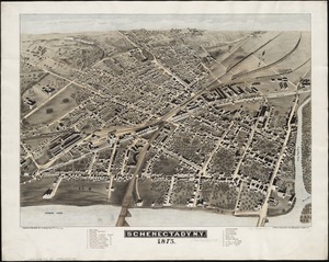
Schenectady, N.Y
9654.
Schonberg's imperial map of the United States and Canada : constructed, drawn and compiled from the latest and best authorities...
9655.
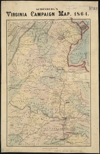
Schonberg's Virginia campaign map, 1864
9656.
School atlas to Cummings' ancient & modern geography [cover]
9657.
Schweiz
9658.
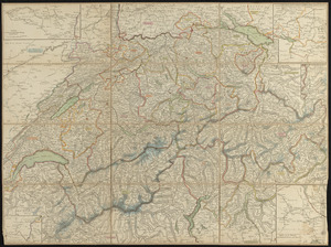
Schweiz
9659.
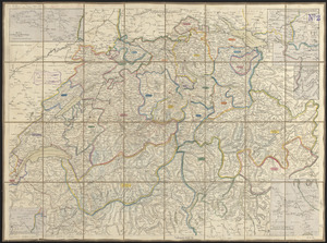
Die Schweiz
9660.
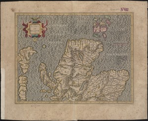
Scotia Regnum
9661.
[Scotiae regnum]
9662.
Scotiae regnum
9663.
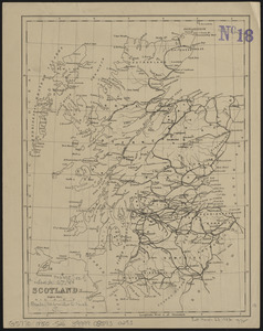
Scotland
9664.
Scotland
9665.
Scotland with the principal roads from the best authorities
9666.
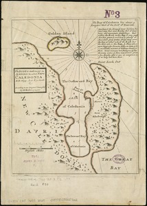
The Scots settlement in America called New Caledonia, A.D. 1699
9667.
A Scott-Map of Boston, Massachusetts
9668.
The Scrimshaw historical map of Cape Cod
9669.
S.e. coast of Nova Scotia : from the most recent British surveys
9670.
The s.e. coast of the United States and its relation to the British West India colonies
9671.
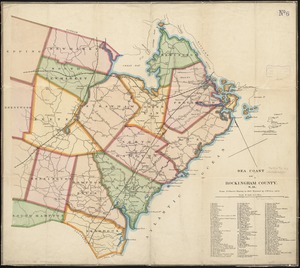
Sea coast of Rockingham County, N.H
9672.
Sea of Japan, west coast of Yezo, dangers off the south point of Okosiri Island : from an examination by the officers of the...
9673.
Seagull Harbour, Gretton Bay, Wollaston Island, Tierra del Fuego
9674.
Seagull Harbour, Gretton Bay, Wollaston Island, Tierra del Fuego
9675.
Sears Park conceptual site plan with historic waterway
9676.
The seat of action, between the British and American forces : or an authentic plan of the western part of Long Island, with the...
9677.
Seat of the Russo-Turkish War
9678.
The seat of war : birds eye view of Virginia, Maryland, Delaware, and the District of Columbia
9679.
The seat of war
9680.
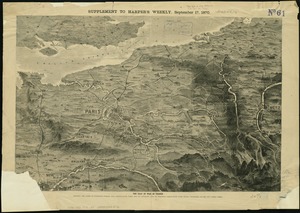
The seat of war in France, showing the scene of M'Mahon's defeat and capitulation, Paris and its environs, and its railroad...
9681.
The seat of war in New England, by an American volunteer : with the marches of the several corps sent by the Colonies towards...
9682.
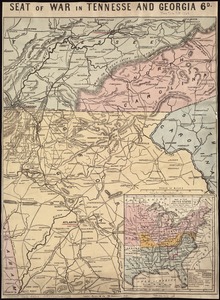
Seat of war in Tennesse and Georgia : 6D
9683.
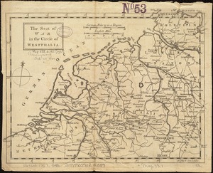
The seat of war in the circle of Westphalia
9684.
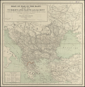
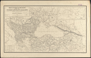
Seat of war in the east : map of Turkey and parts adjacent
9685.
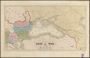
Seat of war in the east
9686.
Seat of war in the east : map of Turkey and parts adjacent
9687.
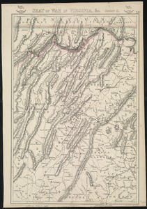
Seat of war in Virginia
9688.
Seat of war in Virginia and Maryland
9689.
Seat of war in Virginia, &c
9690.
The seat of war in ye North : or a map of the Baltick, with part of the North Sea ... posture of affaris
9691.
The seat of war in ye North : or a map of the Baltick, with part of the North Sea ... posture of affaris
9692.
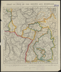
Seat of war on the Rhine and Moselle
9693.
The seat of war on the Rhine being a new map of the course of that river from Basil to Bonn with the adjacent countries
9694.
Seat of war--Russia and Turkey
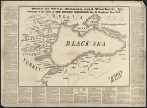
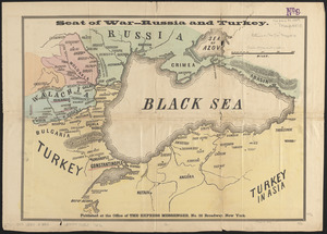
9695.
Seat of war--Russia and Turkey
9696.
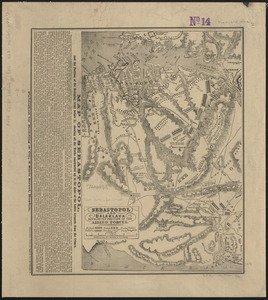
Sebastopol and Balaklava shewing the position of the allied forces
9697.
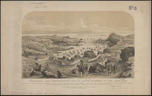
Sebastopol, and fortifications now in active progress on the land side
9698.
Second part of Asia : being China, part of India and Tartary, the islands of Sonda, Molucka, Philippin, Japan &c. ; performed...
9699.
The second section of the survey of 1819
9700.
Sect: Düsseldorf
« Previous
Next »
1
2
…
93
94
95
96
97
98
99
100
101
…
109
110
Limit your search
Subject
Real property--Massachusetts--Boston--Maps
2,278
Landowners--Massachusetts--Boston--Maps
2,117
Boston (Mass.)--Maps
1,966
Roxbury (Boston, Mass.)--Maps
351
Dorchester (Boston, Mass.)--Maps
317
Cambridge (Mass.)--Maps
266
Brookline (Mass.)--Maps
236
Real property--Massachusetts--Cambridge--Maps
216
more
Subject
»
Place
North and Central America
7,814
United States
6,433
Suffolk (county)
3,337
Boston
3,197
Massachusetts
3,166
Europe
964
Middlesex (county)
617
Canada
427
more
Place
»
Format
Maps/Atlases
10,941
Manuscripts
215
Prints
51
Books
35
Objects/Artifacts
10
Drawings/Illustrations
8
Posters
4
Available to use
No known restrictions
10,931
Creative Commons license
46
Date
View distribution
Current results range from
1482
to
2023
Date range begin
Date range end
View larger »
Collection
Norman B. Leventhal Map Center Collection
10,999
Boston and New England Maps (Collection of Distinction)
5,105
Urban Maps (Collection of Distinction)
4,846
Maritime Charts and Atlases (Collection of Distinction)
750
American Revolutionary War-Era Maps (Collection of Distinction)
615
Boston Redevelopment Authority Collection
86
Historic Maps
1
Institution
Boston Public Library
10,999
Salem State University Archives and Special Collections
1


![[Scandinavia]](https://bpldcassets.blob.core.windows.net/derivatives/images/commonwealth:7h14b059b/image_thumbnail_300.jpg)


![School atlas to Cummings' ancient & modern geography [cover]](https://bpldcassets.blob.core.windows.net/derivatives/images/commonwealth:3f463152q/image_thumbnail_300.jpg)
![[Scotiae regnum]](https://bpldcassets.blob.core.windows.net/derivatives/images/commonwealth:cj82m2666/image_thumbnail_300.jpg)