Skip to search
Skip to main content
Skip to first result
Digital Commonwealth
Folders
Sign Up / Log In
Search for
Search
Search
Search
Basic
Advanced
Explore
Map
Collections
Institutions
Formats
For Educators
Primary Source Sets
Lesson Plans
Using Primary Sources
Searching Digital Commonwealth
For Institutions
Join Digital Commonwealth
Conferences, Trainings, & Events
How to Contribute Collections
Digitization Services
Board & Committees
Frequently Asked Questions
About
About Digital Commonwealth
News & Announcements
Copyright & Terms of Use
Harmful Content Statement
Partners
API
Contact Us
Search
Search Constraints
Start Over
Save Search
Your search:
More Like
commonwealth:3f463b02c
✖
Remove constraint More Like: commonwealth:3f463b02c
« Prev. |
1
-
100
of
11,006
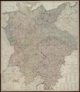
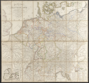
|
Next »
Sort
by relevance
relevance
title
date (asc)
date (desc)
Number of results to display per page
100
per page
per page
10
per page
20
per page
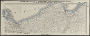
50
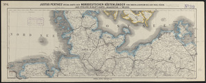
per page
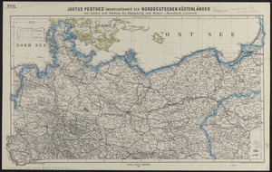
100
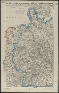
per page
View results as:
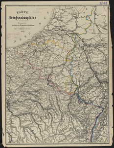
List
list view
Maps
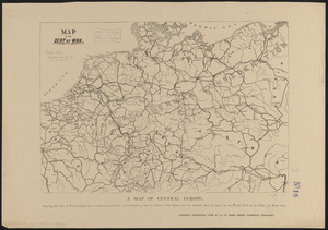
map view
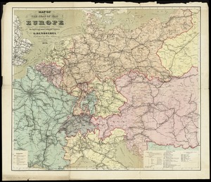
Gallery
grid view
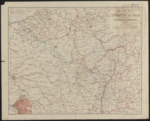
Search Results
1.
19th annual convention of the National Association of Real Estate Boards : at Tulsa, June 7 to June 11 in 1926
2.
Acapulco, México
3.
Being a cartograph of Ohio : the oldest state west of the thirteen original colonies; now the fourth state in the Union in...
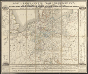
4.
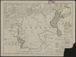
Bird's eye view of the city of Holyoke, and village of South Hadley Falls, Mass. looking north
5.
Boston kids count
6.
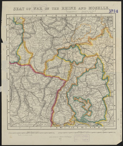
The Commonwealth of Connecticut
7.
Denmark
8.
A descriptive map of the region within one hundred miles of the capital of the United States : portraying the principal events...
9.
England
10.
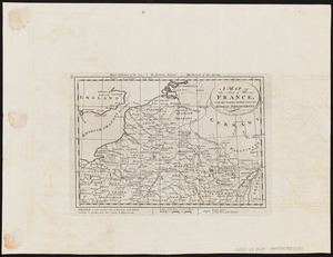
France
11.
Historical map of Watertown, 1630-1930
12.
Holland and Belgium
13.
The hymenial expositor, or, matrimonial chart
14.
Ireland
15.
Italy
16.
Map of a woman's heart
17.
Map of Boston Common : with surrounding streets & adjacent parts of Beacon Hill
18.
A map of Cape Cod
19.
A map of Cape Cod
20.
A map of Concord, the old Musketaquid Plantation
21.
A map of New York which is published by the Washington Square Bookshop
22.
Map of Scituate Rhode Island
23.
A map of the Bermuda Islands : ya des demonios, isles of the devils
24.
Map of the island of Tangerina and Wild Island
25.
Mercator map of the world united : a pictorial history of transport and communications and paths to permanent peace
26.
The new map of the world
27.
Peoples of the Pacific
28.
The pictorial map, United States stamps
29.
A pictorial stamp map of navigation and exploration
30.
Prussia
31.
PWA rebuilds the nation
32.
Racing routes of the Yankee clippers
33.
Russia
34.
Scotland
35.
Spain & Portugal
36.
The story map of flying : being a chronicle of man's conquest of the air
37.
A Texan's map of the United States [of Texas]
38.
Total war battle map
39.
The townships of Dedham, Westwood, Needham, Dover, Sherborn, Norwood, Medfield, Millis, Walpole, Norfolk, Massachusetts
40.
United Air Lines mainliner vacation map : the main line airway to the nation's greatesst vacationlands east and west
41.
Wales
42.
World freedom : a factual & pictorial map
43.
World wonders : a pictorial map
44.
Black's general map of the seat of war
45.
Black's special war map
46.
Carl Jügel's post u. reise karte von Deutschland und den nachbar staaten, bis London, Paris, Montpellier, Florenz, Warschau,...
47.
Carte de la Russie d'Europe, avec l'Empire d'Autriche, la Suede, le Danemark et la Norwege, la Prusse, le Grand Duche ́de...
48.
Charte von den Königreichen Preussen und Polen dem Grosherzogthum Posen nebst dem Gebiete der freien Stadt Krakau : nach dem...
49.
The Daily Telegraph war map no. 16
50.
Detailed map of the seat of war from Chateau Salins to Mannheim & Worms to Strasbourg
51.
Das Deutsche Reich : in 4 Blättern
52.
Deutschland
53.
Deutschland in seiner neugestaltung
54.
Deutschland nebst den königreichen Holland, Belgien und der republik Schweiz
55.
Deutschland und der gröste theil der umliegenden staaten oder Mittel-Europa in 35 blättern : nach astronomischen...
56.
Deutschland und der gröste theil der umliegenden staaten, oder Mittel-Europa in 35 blättern : nach astronomischen...
57.
Eisen-bahn-karte von Deutschland und den angrenzenden ländern : zugleich als übersicht aller wichtigsten land- und...
58.
The empire of Germany : divided into its general and perticuler parts & most humbly inscrib'd to ye most noble Lord Christopher...
59.
General-Charte von Teutschland nach den besten Quellen bearbeitet und den neuesten politischen Veraenderungen begrenzt
60.
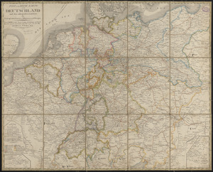
Germany
61.
Germany, concentration camps (June--1944)
62.
Germany, main movements of freight traffic
63.
Germany, main movements of freight traffic, 1942
64.
Germany, postal administrative districts, March 1943
65.
Germany western border regions rail traffic volume (excluding inter-Ruhr traffic) summer 1939
66.
Justus Perthes' special-karte der Deutsch-Französischen Grenzländer von Mainz bis Bern : (aus Stielers 25-blatt-karte)
67.
Justus Perthes' specialkarte der Deutsch-Französischen Grenzländer von Mainz bis zur Nordsee : (aus Stielers 25-blatt-karte)
68.
Justus Perthes' specialkarte der norddeutschen küstenländer von der I. Rügen bis Königsberg : (aus Stielers 25-blatt-karte)
69.
Justus Perthes' specialkarte der norddeutschen küstenländer von Emden & Borkum bis zur insel Rügen : (aus Stielers...
70.
Justus Perthes' übersichtskarte der norddeutschen küstenländer von Emden und Borkum bis Königsberg und Memel
71.
Justus Perthes' übersichtskarte der Westdeutschen grenzlande von Kopenhagen bis Basel und von Chalons bis München
72.
Justus Perthes' übersichtskarte vom nordöstlichen Frankreich bis Paris &c
73.
Karte vom kriegsschauplatze in autographie : herausgegeben zum besten der verwundeten u. hinterbliebenen
74.
Karte von Deutschland : in IV Blättern entworfen im Jahre 1805, und nach den, durch die Bundesacte der Reinschen...
75.
Kriegs-karte 1870
76.
Map of the seat of war
77.
Map of the seat of war in Europe compiled from the latest and most authentic sources
78.
A map of the seat of war in France, with the country divided into its several departments
79.
Military map of the theatre of war between France and Germany
80.
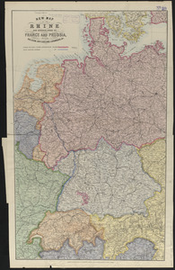
New map of the Rhine and borderlands of France and Prussia, shewing Belgium, Switzerland, Luxemburg, &c.
81.
Philips' large scale contoured map of the Anglo-French front
82.
A pictorial map of Germany
83.
A pictorial map of Germany
84.
Post und reise-karte von Deutschland und den anliegenden ländern : für extraposten, couriere, diligencen und eilwagen
85.
Post- und reise-karte von Deutschland und den anliegenden ländern bis London, Havre de Grace, Tours, Lyon, Genua, Bologna,...
86.
Post-reise-karte von Deutschland mit spezieller angabe der eisenbahn- und dampfschiffahrt-verbindungen : unter der leitung der...
87.
Post-World War I Germany
88.
Preussen, der Norddeutsche bund und Dänemark
89.
Prussia
90.
Rand, McNally & Co.'s indexed atlas of the world map of Germany
91.
Seat of war on the Rhine and Moselle
92.
Specialkarte vom kriegsschauplatz am Rhein 1870 (Erfurt bis Paris) : Belgien, nordöstliches Frankreich, Luxembourg,...
93.
Übersichtskarte der Deutschen Nord u. Ost-see küste
94.
Übersichts-karte der länder zwischen Berlin u. Paris
95.
Völker und sprachen-karte von Deutschland und den nachbarländern im j. 1867
96.
Vom Rhein bis Paris
97.
War map of the Rhine frontiers
98.
Western theatre-European war
99.
Boston urban wilds
100.
Brandenburg und Pommern
« Previous
Next »
1
2
3
4
5
…
110
111
Limit your search
Subject
Real property--Massachusetts--Boston--Maps
2,278
Landowners--Massachusetts--Boston--Maps
2,117
Boston (Mass.)--Maps
1,967
Roxbury (Boston, Mass.)--Maps
351
Dorchester (Boston, Mass.)--Maps
317
Cambridge (Mass.)--Maps
266
Brookline (Mass.)--Maps
236
Real property--Massachusetts--Cambridge--Maps
216
more
Subject
»
Place
North and Central America
7,815
United States
6,434
Suffolk (county)
3,338
Boston
3,198
Massachusetts
3,166
Europe
968
Middlesex (county)
617
Canada
427
more
Place
»
Format
Maps/Atlases
10,947
Manuscripts
215
Prints
51
Books
35
Objects/Artifacts
10
Drawings/Illustrations
8
Posters
4
Available to use
No known restrictions
10,932
Creative Commons license
46
Date
View distribution
Current results range from
1482
to
2023
Date range begin
Date range end
View larger »
Collection
Norman B. Leventhal Map Center Collection
10,999
Boston and New England Maps (Collection of Distinction)
5,106
Urban Maps (Collection of Distinction)
4,847
Maritime Charts and Atlases (Collection of Distinction)
750
American Revolutionary War-Era Maps (Collection of Distinction)
615
Boston Redevelopment Authority Collection
87
Historic Maps
6
Institution
Boston Public Library
11,000
Salem State University Archives and Special Collections
6


![A Texan's map of the United States [of Texas]](https://bpldcassets.blob.core.windows.net/derivatives/images/commonwealth:fn107c388/image_thumbnail_300.jpg)