Search


Limit your search
- Parks5,310
- Lakes & ponds543
- Snow419
- City planning277
- Monuments & memorials242
- Trees199
- Hippies193
- Boats190
- North and Central America5,733
- United States5,713
- Massachusetts4,546
- Suffolk (county)3,206
- Boston3,027
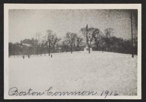
- Boston Common1,155
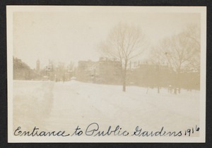
- Public Garden1,148
- Middlesex (county)535
- Leslie Jones Collection1,180
- Tichnor Brothers Postcard Collection1,023
- Boston Pictorial Archive (Collection of Distinction)415
- Press Photography from the Brearley Collection382
- Somerville Public Library Local History Collection322
- Stereograph Collection258
- Project DOCUMERICA Photographs by Ernst Halberstadt221
- Arthur Griffin Photographs186