Search
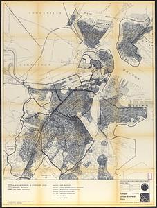
![Boston personal income ; Boston personal income [and] residential population density](https://bpldcassets.blob.core.windows.net/derivatives/images/commonwealth:fn107c409/image_thumbnail_300.jpg)


Limit your search
- North and Central America8,119
- United States6,736
- Suffolk (county)3,638
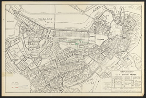
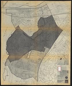
- Boston3,498
- Massachusetts3,251
- Europe963
- Middlesex (county)619
- Canada427
- Norman B. Leventhal Map Center Collection11,029
- Boston and New England Maps (Collection of Distinction)5,291
- Urban Maps (Collection of Distinction)5,027
- Maritime Charts and Atlases (Collection of Distinction)750
- American Revolutionary War-Era Maps (Collection of Distinction)625
- Boston Redevelopment Authority Collection252
- Historic Maps49
- Massachusetts Real Estate Atlases38