Skip to search
Skip to main content
Skip to first result
Digital Commonwealth
Folders
Sign Up / Log In
Search for
Search
Search
Search
Basic
Advanced
Explore
Map
Collections
Institutions
Formats
For Educators
Primary Source Sets
Lesson Plans
Using Primary Sources
Searching Digital Commonwealth
For Institutions
Join Digital Commonwealth
Conferences, Trainings, & Events
How to Contribute Collections
Digitization Services
Board & Committees
Frequently Asked Questions
About
About Digital Commonwealth
News & Announcements
Copyright & Terms of Use
Harmful Content Statement
Partners
API
Contact Us
Search
Search Constraints
Start Over
Save Search
Your search:
watertown map
✖
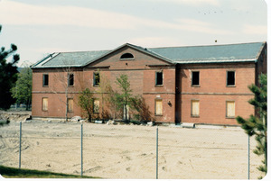
Remove constraint watertown map
« Prev. |
1
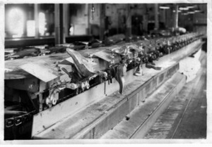
-
100
of
144
|
Next »
Sort
by relevance
relevance
title
date (asc)
date (desc)
Number of results to display per page
100
per page
per page
10
per page
20
per page
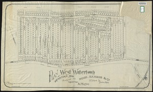
50
per page
100
per page
View results as:
List
list view
Maps
map view
Gallery
grid view
Search Results
1.
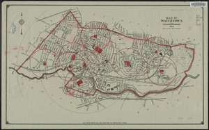
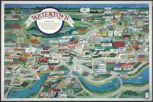
Watertown Maps
2.
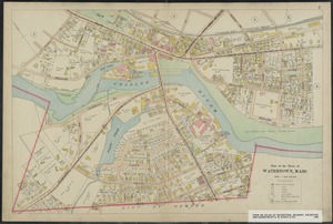
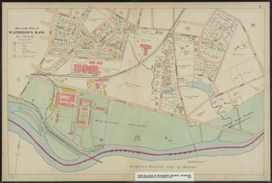
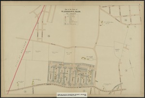
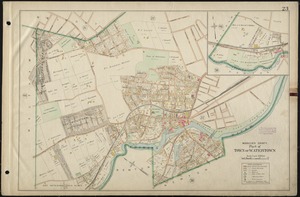
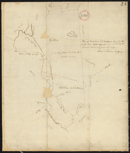
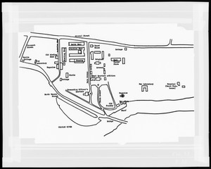
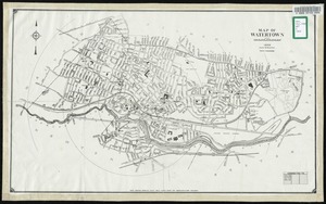
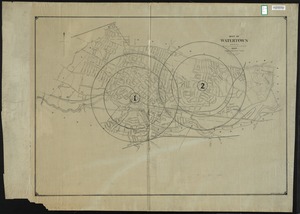
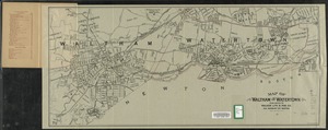
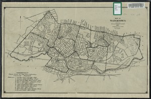
Part of Watertown [map 1]
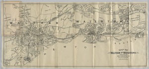
3.
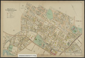
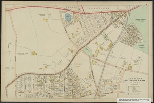
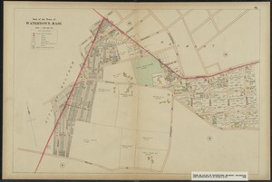
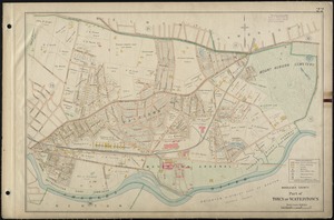
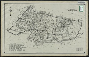
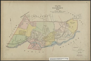
Part of Watertown [map 2]
4.
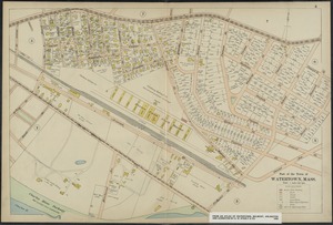
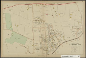
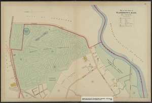
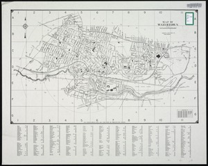
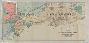
Part of Watertown [map 3]
5.
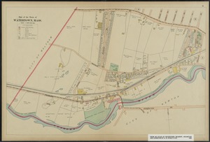
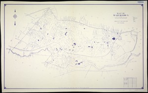
Part of Watertown [map 4]
6.
Part of Watertown [map 5]
7.
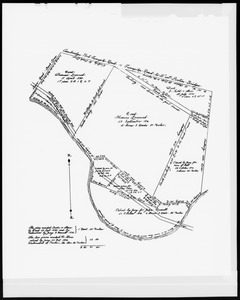
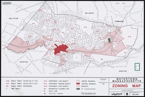
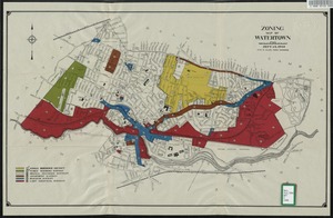
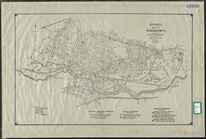
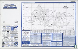
Watertown, Massachusetts zoning map
8.
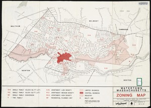
Watertown, Massachusetts zoning map
9.
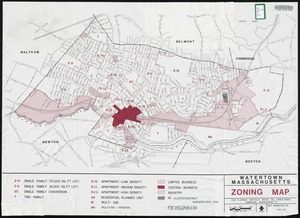
Watertown, Massachusetts zoning map
10.
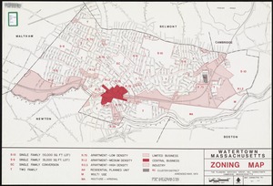
Watertown, Massachusetts zoning map
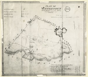
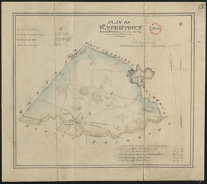
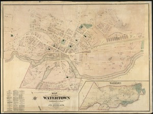
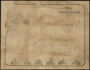
11.
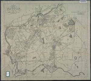
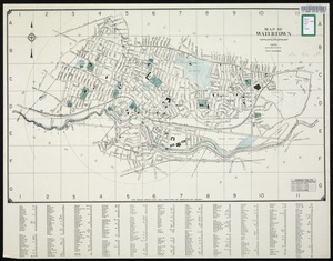
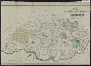
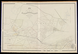
Map of the town of Watertown : Middlesex Co., Mass., from actual surveys
12.
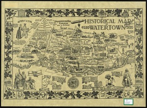
Historical map of Watertown, 1630-1930
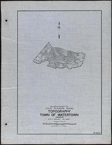
13.
Topography Town of Watertown
14.
Insurance maps of Watertown, Middlesex County, Massachusetts
15.
Map of a proposed extension of the Watertown branch railroad
16.
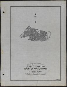
Land Utilization Town of Watertown
17.
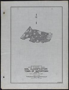
Soil Classification Town of Watertown
18.
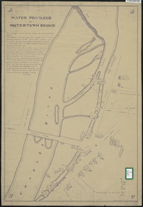
Map of water privilege at Watertown Bridge.
19.
Map of Watertown
20.
Map of Watertown
21.
Map of Watertown
22.
Map of Watertown
23.
Map of Watertown
24.
Map of Watertown
25.
Map of Watertown
26.
Map of the cemetery of Mount Auburn, Boston
27.
Historical map of Watertown
28.
Map of Watertown Massachusetts
29.
Map of Watertown Massachusetts
30.
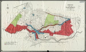
Zoning map of Watertown
31.
Zoning map of Watertown
32.
Map of Watertown, Mass.
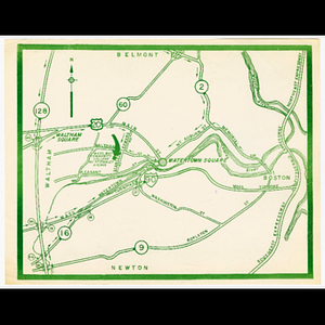
33.
Map showing Watertown Square
34.
Map of Waltham and Watertown.
35.
Index map of Watertown, Mass.
36.
Map of Waltham and Watertown
37.
Map of Waltham and Watertown
38.
Map of Watertown compiled from former surveys
39.
Map of Watertown, 1953 corrected to 1965
40.
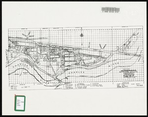
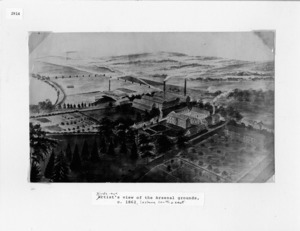
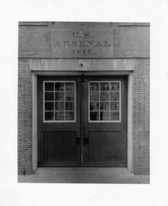
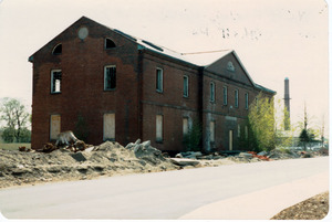
Watertown Arsenal
41.
Zoning map of Watertown, compiled from former surveys
42.
Atlas of the towns of Watertown, Belmont, Arlington and Lexington, Middlesex County, Mass. : from official plans and actual...
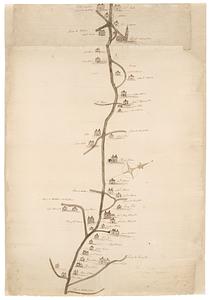
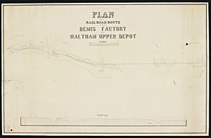
43.
Plan of a railroad route from Bemis Factory to Waltham Upper Depot.
44.
Watertown Arsenal
45.
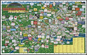
Watertown Massachusetts
46.
Watertown, Massachusetts
47.
Watertown Businesses
48.
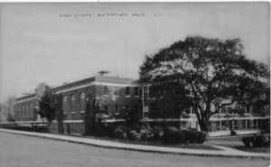
Watertown Schools
49.
Watertown Arsenal
50.
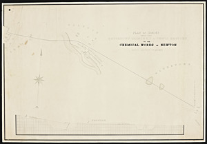
Plan of survey from the Watertown Branch R.R. at Bemis factory to the Chemical Works in Newton
51.
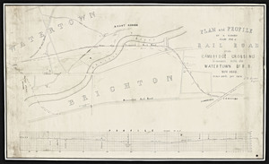
Plan and profile of a survey made for a railroad from Cam bridge crossing to connect with the Watertown branch r.r. / T. D....
52.
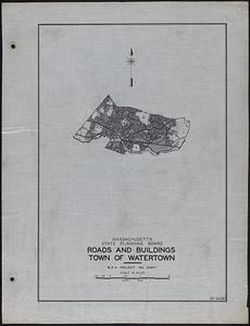
Roads and Buildings Town of Watertown
53.
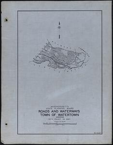
Roads and Waterways Town of Watertown
54.
Plan of the cemetery of Mount Auburn
55.
Mount Auburn, avenues and paths
56.
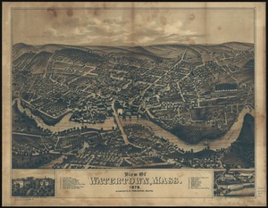
View of Watertown, Massachusetts
57.
North Storehouse, Watertown Arsenal.
58.
Watertown Mass., 1630-1987
59.
View of Watertown, Mass : 1879
60.
A map of the original allotments of land and the ancient topography of Watertown proper
61.
North Store House Watertown Arsenal.
62.
Atlas of the boundaries of the cities of Cambridge, Somerville, Waltham and towns of Belmont, Burlington, Lexington, Watertown,...
63.
Water privilage at Watertown bridge
64.
Map showing the proposed location of the Charles River Railroad / W.S. Barbour, engineer.
65.
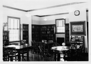
Watertown Free Public Library - North Branch.
66.
Map showing the proposed location of the Charles River Railroad / W.S. Barbour, engineer copied [by] G. Tyler.
67.
Plan of West Watertown, Watertown, Mass., surveyed for Wood, Harmon & Co., 13 School St., Boston, Mass.
68.
Part of the Town of Watertown, Mass.
69.
Part of the Town of Watertown, Mass.
70.
Part of the Town of Watertown, Mass.
71.
Part of the Town of Watertown, Mass.
72.
Part of the Town of Watertown, Mass.
73.
Part of the Town of Watertown, Mass.
74.
Part of the Town of Watertown, Mass.
75.
Part of the Town of Watertown, Mass.
76.
Part of the Town of Watertown, Mass.
77.
Part of the Town of Watertown, Mass.
78.
Watertown, residences, (and homes of several owners.)
79.
Middlesex county, part of town of Watertown
80.
Middlesex county, part of town of Watertown
81.
Atlas of Middlesex County. Vol. 1. Cambridge, Somerville, Arlington, Belmont, Watertown, Everett, Malden, Medford, Newton,...
82.
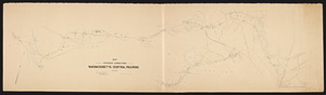
Map showing proposed connections of the Massachusetts Central Railroad / Edward Frost, chief engineer.
83.
Map of genocide
84.
Plan of Watertown from survey made in June 1830
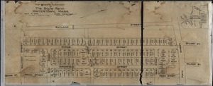
85.
Plan showing subdivision of the Boyle Farm. Watertown, Mass.
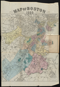
86.
Map of Boston 1886
87.
Charles River Basin contour map of upper basin from surveys and soundings
88.
Map showing purchases to 1839
89.
Map showing purchases to 1839
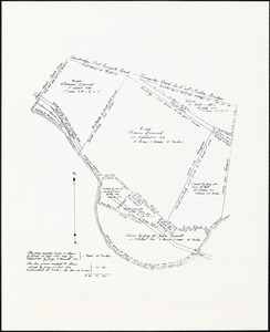
90.
Plan of the estate of Dr. Eliakim Morse in Watertown
91.
Watertown Arsenal master allocation plan Current utilization districts - zones - subzones
92.
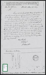
Plan of proposed change in location of a schoolhouse in Watertown
93.
Plan of Watertown and Waltham surveyed by Abner Sanderson, dated 1795.
94.
Plan of Watertown made by John G. Hales, dated June 1830
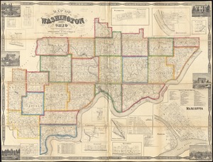
95.
Map of Washington County, Ohio
96.
Plan of the new county road from Lincoln Meeting House to Watertown
97.
Map showing erecting shop and other buildings
98.
Public reservations on the banks of the Charles River between Watertown and Cragies Bridge
99.
Map of the city of Newton
100.
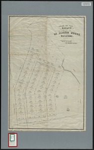
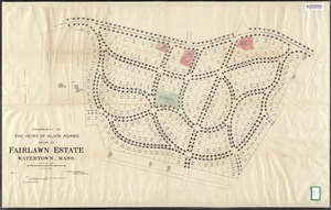
Property of the heirs of Alvin Adams known as Fairlawn Estate, Watertown, Mass.
« Previous
Next »
1
2
Limit your search
Subject
City planning
15
Watertown (Mass.)--Maps
10
Watertown Arsenal (Mass.)
10
Cambridge (Mass.)--Maps
7
Roads
7
Boston (Mass.)--Maps
5
Cities and towns
5
Land use mapping
5
more
Subject
»
Place
North and Central America
138
United States
138
Massachusetts
118
Middlesex (county)
118
Watertown
108
Boston
17
Suffolk (county)
17
Cambridge
11
more
Place
»
Format
Maps/Atlases
122
Photographs
22
Manuscripts
7
Postcards/Cards
4
Collections
4
Documents
2
Books
1
Drawings/Illustrations
1
Available to use
Creative Commons license
69
No known restrictions
35
Date
View distribution
Current results range from
1687
to
2013
Date range begin
Date range end
View larger »
Unknown
12
Collection
Watertown Maps
65
Norman B. Leventhal Map Center Collection
14
Boston and New England Maps (Collection of Distinction)
12
Urban Maps (Collection of Distinction)
12
Massachusetts Board of Railroad Commissioners
7
Historic Maps
5
Land study maps, 1936-1937
5
Watertown Arsenal
5
more
Collection
»
Institution
Watertown Free Public Library
82
Boston Public Library
17
State Library of Massachusetts
10
Massachusetts Archives
7
National Archives at Boston
5
Perkins School for the Blind
5
Salem State University Archives and Special Collections
5
Wayland Free Public Library
4
more
Institution
»
![Part of Watertown [map 1]](https://bpldcassets.blob.core.windows.net/derivatives/images/commonwealth:5m60r4425/image_thumbnail_300.jpg)
![Part of Watertown [map 2]](https://bpldcassets.blob.core.windows.net/derivatives/images/commonwealth:5m60r444q/image_thumbnail_300.jpg)
![Part of Watertown [map 3]](https://bpldcassets.blob.core.windows.net/derivatives/images/commonwealth:5m60r4468/image_thumbnail_300.jpg)
![Part of Watertown [map 4]](https://bpldcassets.blob.core.windows.net/derivatives/images/commonwealth:5m60r448t/image_thumbnail_300.jpg)
![Part of Watertown [map 5]](https://bpldcassets.blob.core.windows.net/derivatives/images/commonwealth:5m60r450v/image_thumbnail_300.jpg)


![Map showing the proposed location of the Charles River Railroad / W.S. Barbour, engineer copied [by] G. Tyler.](https://bpldcassets.blob.core.windows.net/derivatives/metadata/commonwealth-oai:6q1832208/image_thumbnail_300.jpg)