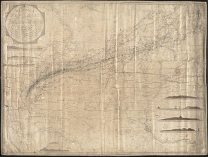
A new chart of the east and west coasts of South America : From the River Plate to Valparaiso, including the Falkland Islands and plans of the principal harbours, &c.
Item Information
- Title:
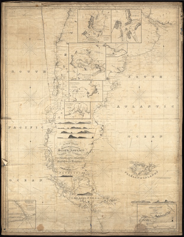
- A new chart of the east and west coasts of South America : From the River Plate to Valparaiso, including the Falkland Islands and plans of the principal harbours, &c.
- Description:
-
Two longitudinal scales: west for Greenwich, and west from Cadiz. Tracks of the ship "Enterprise" from Nantucket in 1854, 1855, 1857, 1858.
- Creator:
- Norie, J. W. (John William), 1772-1843
- Name on Item:
-
Drawn from the latest Spanish and other surveys, J.W. Norie, Hydrographer
- Date:
-
1822
- Format:
-
Maps/Atlases
- Location:
-
New Bedford Whaling Museum
Research Library - Collection (local):
-
New Bedford Whaling Museum Research Library Cartography Collection
- Places:
-
South America
- Extent:
- 1 map ; on sheet 126 x 98 cm
- Permalink:
- https://ark.digitalcommonwealth.org/ark:/50959/zk51wb14p
- Terms of Use:
-
No known copyright restrictions. Contact host institution for more information.
This work is licensed for use under a Creative Commons Attribution Non-Commercial License (CC BY-NC).