Skip to search
Skip to main content
Digital Commonwealth
Sign Up / Log In
Search for
Search
Search
Search
Basic
Advanced
Explore
Map
Collections
Institutions
Formats
For Educators
Primary Source Sets
Lesson Plans
Using Primary Sources
Searching Digital Commonwealth
For Institutions
Join Digital Commonwealth
Conferences, Trainings, & Events
How to Contribute Collections
Digitization Services
Board & Committees
Frequently Asked Questions
About
About Digital Commonwealth
News & Announcements
Copyright & Terms of Use
Harmful Content Statement
Partners
API
Contact Us
Perkins School for the Blind
Helen Keller Collection
/
Photos of Helen Keller in the Middle East
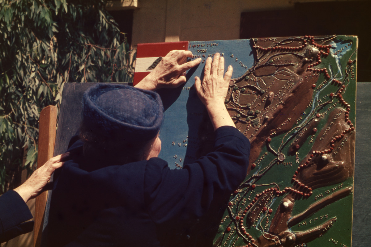
Helen Keller Exploring Tactile Map, Beirut, Lebanon
Helen Keller Exploring Tactile Map, Beirut, Lebanon
×
Item Information
Title:
Helen Keller Exploring Tactile Map, Beirut, Lebanon
Name on Item:
Karl Meyer [Photographer]
Date:
1952
Format:
Photographs
Genre:
Slides
35mm color slide
Location:
Perkins School for the Blind
Samuel P. Hayes Research Library
Collection (local):
Helen Keller Collection
Series:
Photos of Helen Keller in the Middle East
Subjects:
Deafblind people
International travel
Perkins School for the Blind
Keller, Helen, 1880-1968
Thomson, Polly
Places:
Middle East
(area)
Extent:
1 photograph
Permalink:
https://ark.digitalcommonwealth.org/ark:/50959/xd07m4361
Terms of Use:
Samuel P. Hayes Research Library, Perkins School for the Blind, Watertown, MA
Contact host institution for more information.
Notes (acquisition):
This collection was donated to the Perkins School for the Blind by Anita Jaccard, a relative of Karl Meyer.
Accession #:
AG62_8_36
show more...
View MODS XML
More Like This
Dome of the Rock, Jerusalem
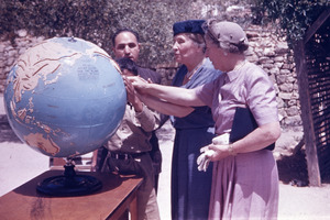
Helen Keller and Polly Thomson Exploring Tactile Globe
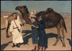
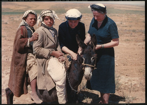
Helen Keller and Polly Thomson in the Middle East
Helen Keller and Polly Thomson in the Middle East
Find More Like This >>
Tools
Share
Facebook
Pinterest
X
Reddit
Tumblr
Email
Copy link
Add to Folder
Questions/Comments
Cite This Item