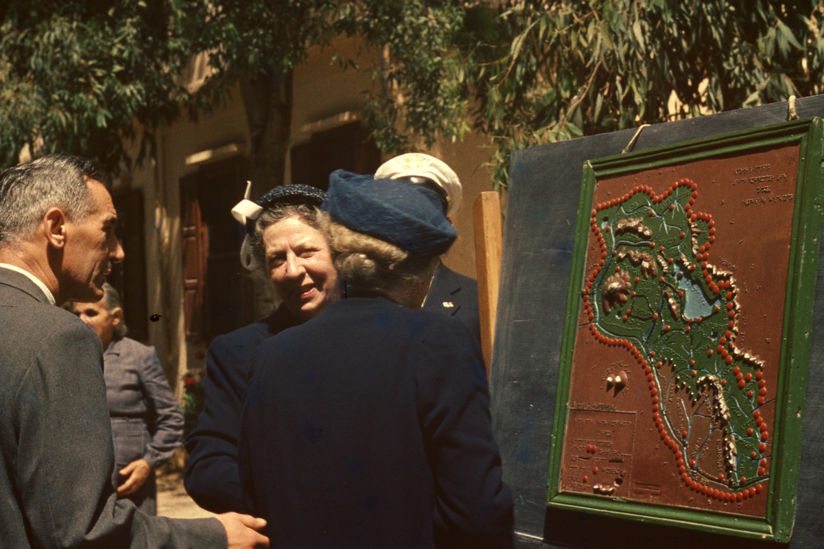
Helen Keller and Polly Thomson with Tactile Map of Lebanon, Beirut
Helen Keller and Polly Thomson with Tactile Map of Lebanon, Beirut
Item Information
Title:
Helen Keller and Polly Thomson with Tactile Map of Lebanon, Beirut
Description:
Helen Keller stands in front of a tactile and Braille map of Lebanon with her back to the camera. Polly Thomson and an unknown man stand beside her. Outside at the Armenian School for the Blind, Beirut, Lebanon.
Samuel P. Hayes Research Library, Perkins School for the Blind, Watertown, MA
Contact host institution for more information.
Notes:
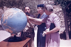
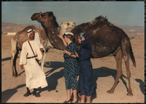
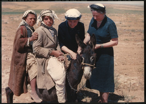
This image is part of a collection of travel photos of Helen Keller and Polly Thomson on a 1952 trip to Egypt, Lebanon, Syria, Jordan and Israel. From the collection of Karl Meyer, Director of the School for the Blind, Swiss Friends of the Armenians Mission, Bourj-Hammoud, Djisr, Beirut.
Notes (acquisition):
This collection was donated to the Perkins School for the Blind by Anita Jaccard, a relative of Karl Meyer.