Skip to search
Skip to main content
Digital Commonwealth
Sign Up / Log In
Search for
Search
Search
Search
Basic
Advanced
Explore
Map
Collections
Institutions
Formats
For Educators
Primary Source Sets
Lesson Plans
Using Primary Sources
Searching Digital Commonwealth
For Institutions
Join Digital Commonwealth
Conferences, Trainings, & Events
How to Contribute Collections
Digitization Services
Board & Committees
Frequently Asked Questions
About
About Digital Commonwealth
News & Announcements
Copyright & Terms of Use
Harmful Content Statement
Partners
API
Contact Us
Boston Public Library
Norman B. Leventhal Map Center Collection
/
Urban Maps (Collection of Distinction)
/
Boston and New England Maps (Collection of Distinction)
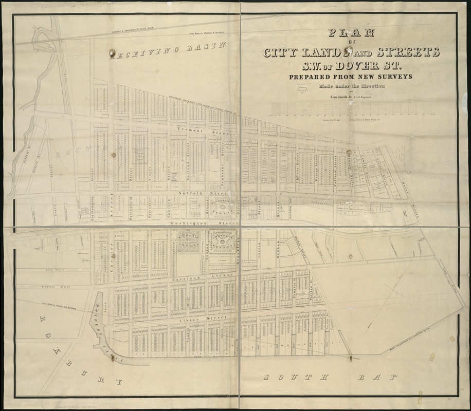
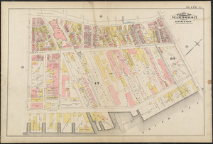
Plan of city lands and streets s.w. of Dover St : prepared from new surveys
Plan of city lands and streets s.w. of Dover St
×
Item Information
Title:
Plan of city lands and streets s.w. of Dover St : prepared from new surveys
Creator:
Brown, Calvin L.
Name on Item:
made under the directions of Ezra Lincoln ; surveyed and drawn by Calvin Brown.
Date:
1848
Format:
Maps/Atlases
Location:
Boston Public Library
Norman B. Leventhal Map Center
Collection (local):
Norman B. Leventhal Map Center Collection
Subjects:
Real property--Massachusetts--Boston--Maps
Landowners--Massachusetts--Boston--Maps
South End (Boston, Mass.)--Maps
South End (Boston, Mass.)
Places:
Massachusetts
>
Suffolk (county)
>
Boston
>
South End
Extent:
1 map ; 122 x 148 cm.
Permalink:
https://ark.digitalcommonwealth.org/ark:/50959/x059cc545
Terms of Use:
No known copyright restrictions.
No known restrictions on use.
Publisher:
Boston : [s.n.]
Scale:
Scale [1:1,240].
Language:
English
Notes:
Covers area Camden St. to Dover St. [i.e. Berkeley St.], Tremont St. to South Bay.
Partial cadastral map showing lot dimensions, areas, and names of some property owners.
Identifier:
06_01_005560
Call #:
G3764.B6:2S6G46 1848 .B7x
Barcode:
39999059015097
show more...
View MODS XML
More Like This
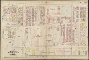
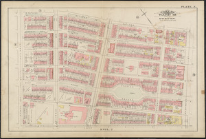
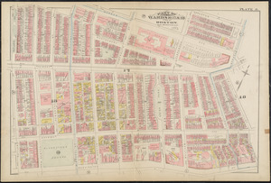
Atlas of the city of Boston : city proper : plate M
Atlas of the city of Boston : city proper : plate N
Atlas of the city of Boston : city proper : plate O
Atlas of the city of Boston : city proper : plate L
Find More Like This >>
Tools
Share
Facebook
Pinterest
X
Reddit
Tumblr
Email
Copy link
Add to Folder
Questions/Comments
Cite This Item
IIIF Manifest
Downloads
Primary (full resolution, uncompressed)
(TIF, 385 MB)
Large (full resolution)
(JPEG, 32.3 MB)
Medium
(JPEG, 222 KB)
GeoTIFF (georeferenced)
(TIF, 318 MB)