Skip to search
Skip to main content
Digital Commonwealth
Sign Up / Log In
Search for
Search
Search
Search
Basic
Advanced
Explore
Map
Collections
Institutions
Formats
For Educators
Primary Source Sets
Lesson Plans
Using Primary Sources
Searching Digital Commonwealth
For Institutions
Join Digital Commonwealth
Conferences, Trainings, & Events
How to Contribute Collections
Digitization Services
Board & Committees
Frequently Asked Questions
About
About Digital Commonwealth
News & Announcements
Copyright & Terms of Use
Harmful Content Statement
Partners
API
Contact Us
Boston Public Library
Norman B. Leventhal Map Center Collection
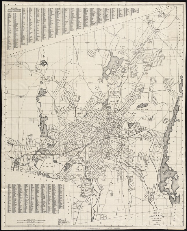
Map of Worcester Mass
Map of Worcester Mass
×
Item Information
Title:
Map of Worcester Mass
Creator:
Drew Allis Co
Name on Item:
A.N. Houghton, del.
Date:
[ca. 1919]
Format:
Maps/Atlases
Location:
Boston Public Library
Norman B. Leventhal Map Center
Collection (local):
Norman B. Leventhal Map Center Collection
Subjects:
Worcester (Mass.)--Maps
Places:
Worcester (county)
>
Worcester
Extent:
1 map ; 86 x 70 cm.
Permalink:
https://ark.digitalcommonwealth.org/ark:/50959/x059cc44x
Terms of Use:
No known copyright restrictions.
No known restrictions on use.
Publisher:
Worcester [Mass.] : Drew Allis Co.
Scale:
Scale [ca. 1:15,600].
Language:
English
Notes:
Oriented with north toward the upper right.
Distance from City Hall shown by concentric circles at mile distances.
Shows wards.
Identifier:
06_01_005505
Call #:
G3764.W9 1919 .D7x
Barcode:
39999059014983
show more...
View MODS XML
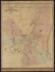
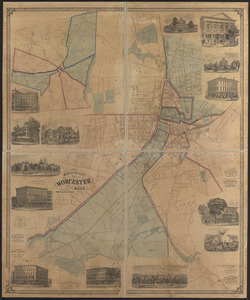
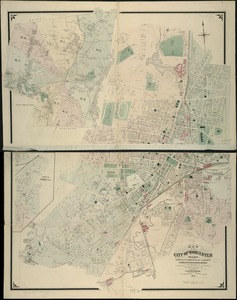
More Like This
Map of the city of Worcester
Map of the city of Worcester, Mass.
Map of the city of Worcester, Mass
Massachusetts official transportation map
Find More Like This >>
Tools
Share
Facebook
Pinterest
X
Reddit
Tumblr
Email
Copy link
Add to Folder
Questions/Comments
Cite This Item
IIIF Manifest
Downloads
Primary (full resolution, uncompressed)
(TIF, 81.9 MB)
Large (full resolution)
(JPEG, 6.88 MB)
Medium
(JPEG, 235 KB)