Skip to search
Skip to main content
Digital Commonwealth
Sign Up / Log In
Search for
Search
Search
Search
Basic
Advanced
Explore
Map
Collections
Institutions
Formats
For Educators
Primary Source Sets
Lesson Plans
Using Primary Sources
Searching Digital Commonwealth
For Institutions
Join Digital Commonwealth
Conferences, Trainings, & Events
How to Contribute Collections
Digitization Services
Board & Committees
Frequently Asked Questions
About
About Digital Commonwealth
News & Announcements
Copyright & Terms of Use
Harmful Content Statement
Partners
API
Contact Us
Boston Public Library
Norman B. Leventhal Map Center Collection
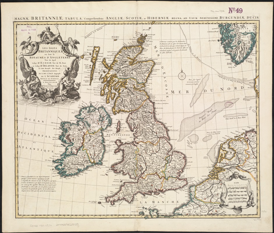
Les Isles Britanniques ou sont le royaumes d'Angleterre
Les Isles Britanniques ou sont le royaumes dAngleterre
×
Item Information
Title:
Les Isles Britanniques ou sont le royaumes d'Angleterre
Title (alt.):
Magnae Britanniae tabula, comprehendens Angliae, Scotiae ac Hiberniae regna, ad usum serenissimi Burgundiae ducis
Creator:
L'Isle, Guillaume de, 1675-1726
Name on Item:
tiré de Sped, celuy d'Ecosse tiré de Th. Pont et celuy d'Irlande tiré de Petti ; le tout rectifié par diverses observations par G. de l'Isle ...
Date:
[1730]
Format:
Maps/Atlases
Location:
Boston Public Library
Norman B. Leventhal Map Center
Collection (local):
Norman B. Leventhal Map Center Collection
Subjects:
British Isles--Maps--Early works to 1800
Places:
British Isles
(area)
Extent:
1 map : outline col. ; 47 x 57 cm.
Permalink:
https://ark.digitalcommonwealth.org/ark:/50959/ww72bp219
Terms of Use:
No known copyright restrictions.
No known restrictions on use.
Publisher:
A Amsteldam : chez I. Cóvens & C. Mortier
Scale:
Scale ca. 1:2,534,400.
Language:
French
Latin
Notes:
Relief shown pictorially.
Title in margin: Magnae Britanniae tabula, comprehendens Angliae, Scotiae ac Hiberniae regna ...
Appears in the author's Atlas nouveau. Amsterdam : Jean Covens & Corneille Mortier, [ca. 1757].
Notes (date):
This date is inferred.
Identifier:
06_01_006963
Call #:
G5740 1730 .L57x
Barcode:
39999059028850
show more...
View MODS XML
More Like This
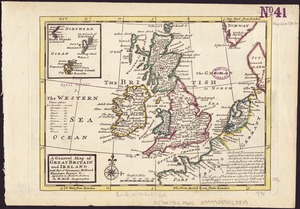
A general map of Great Britain and Ireland : with part of Germany, ...
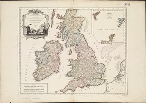
Les Isles Britanniques : qui comprennent les Royaumes ...
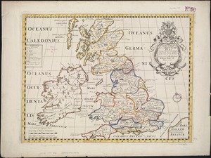
Magnae Britanniae et Hiberniae Tabula
A new map of the Brittish Isles shewing their antient people, ...
Find More Like This >>
Tools
Share
Facebook
Pinterest
X
Reddit
Tumblr
Email
Copy link
Add to Folder
Questions/Comments
Cite This Item
IIIF Manifest
Downloads
Primary (full resolution, uncompressed)
(TIF, 208 MB)
Large (full resolution)
(JPEG, 17.5 MB)
Medium
(JPEG, 336 KB)