Skip to search
Skip to main content
Digital Commonwealth
Sign Up / Log In
Search for
Search
Search
Search
Basic
Advanced
Explore
Map
Collections
Institutions
Formats
For Educators
Primary Source Sets
Lesson Plans
Using Primary Sources
Searching Digital Commonwealth
For Institutions
Join Digital Commonwealth
Conferences, Trainings, & Events
How to Contribute Collections
Digitization Services
Board & Committees
Frequently Asked Questions
About
About Digital Commonwealth
News & Announcements
Copyright & Terms of Use
Harmful Content Statement
Partners
API
Contact Us
Boston Public Library
Norman B. Leventhal Map Center Collection
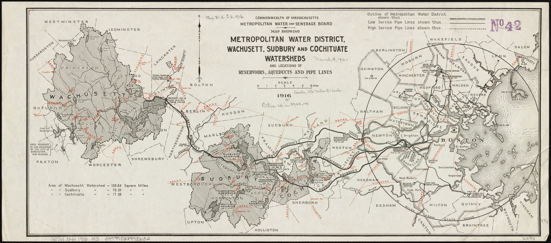
Map showing metropolitan water district, Wachusett, Sudbury and Cochituate watersheds and locations of reservoirs, aqueducts and lead pipes
Map showing metropolitan water district, Wachusett, Sudbury and Cochituate watersheds and locations of reservoirs, aqueducts and lead pipes
×
Item Information
Title:
Map showing metropolitan water district, Wachusett, Sudbury and Cochituate watersheds and locations of reservoirs, aqueducts and lead pipes
Creator:
Massachusetts. Metropolitan Water and Sewerage Board
Date:
[1916]
Format:
Maps/Atlases
Location:
Boston Public Library
Norman B. Leventhal Map Center
Collection (local):
Norman B. Leventhal Map Center Collection
Subjects:
Watersheds--Massachusetts--Maps
Aqueducts--Massachusetts--Maps
Wachusett Reservoir (Mass.)--Maps
Sudbury Reservoir (Mass.)--Maps
Sudbury Reservoir Watershed (Mass.)--Maps
Cochituate, Lake, Watershed (Mass.)--Maps
Places:
Middlesex (county)
>
Cochituate, Lake
Sudbury Reservoir
Worcester (county)
>
Wachusett Reservoir
Extent:
1 map : col. ; 25 x 57 cm.
Permalink:
https://ark.digitalcommonwealth.org/ark:/50959/wd376825j
Terms of Use:
No known copyright restrictions.
No known restrictions on use.
Publisher:
Boston, Mass : Massachusetts Metropolitan Water and Sewerage Board
Scale:
Scale [ca. 1:158,400].
Language:
English
Notes:
Shows railways in red.
Notes (date):
This date is inferred.
Identifier:
06_01_003118
Call #:
G3761.N44 1916 .M3
Barcode:
39999058998632
show more...
View MODS XML
More Like This
Index map showing the principal river basins within the state of ...
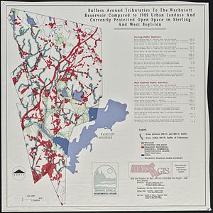
Buffers around tributaries to the Wachusett Reservoir compared to ...
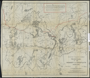
Boston Water Works: Water-sheds of the Sudbury and Cochituate Supplies
General plan of the MWRA/MDC water system
Find More Like This >>
Tools
Share
Facebook
Pinterest
X
Reddit
Tumblr
Email
Copy link
Add to Folder
Questions/Comments
Cite This Item
IIIF Manifest
Downloads
Primary (full resolution, uncompressed)
(TIF, 25.1 MB)
Large (full resolution)
(JPEG, 2.11 MB)
Medium
(JPEG, 576 KB)