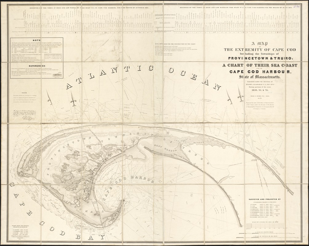
A map of the extremity of Cape Cod : including the townships of Provincetown & Truro: with chart of their sea coast and of Cape Cod Harbour, State of Massachusetts
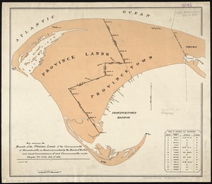
A map of the extremity of Cape Cod
Item Information
Title:
A map of the extremity of Cape Cod : including the townships of Provincetown & Truro: with chart of their sea coast and of Cape Cod Harbour, State of Massachusetts
Shows the sea coast and Cape Cod Bay.
Relief shown by hachures and spot heights, bathymetry shown by soundings and contours.
Shows register of the tides for the months of Oct. 1833 & June 1835.
"Surveyed and projected by J.D. Graham, Major U.S. Top. Eng. ..." et. al.
"Drawn from the original projections and notes, by J.E. Johnston, Lieut. 4th Arty. ..." et. al.
"W.J. Stone Sc."
"The original chart, on a scale of 1:5280 or 12 inches to 1 mile, submitted to Lieut. Colonel J.J. Albert, Chief of the Corps of Topographical Engineers, with a report dated December 21st, 1835."
"Reduced from the original in the Bureau of U.S. Topographical Engineers, Washington, by Wash : Hood 1836."
"Engraved by order of the House of Representatives of the U. States, and under the directions of the Bureau of Topographical Engineers, to accompany Doc. 121, 25th Congress, 2d. session."