Skip to search
Skip to main content
Digital Commonwealth
Sign Up / Log In
Search for
Search
Search
Search
Basic
Advanced
Explore
Map
Collections
Institutions
Formats
For Educators
Primary Source Sets
Lesson Plans
Using Primary Sources
Searching Digital Commonwealth
For Institutions
Join Digital Commonwealth
Conferences, Trainings, & Events
How to Contribute Collections
Digitization Services
Board & Committees
Frequently Asked Questions
About
About Digital Commonwealth
News & Announcements
Copyright & Terms of Use
Harmful Content Statement
Partners
API
Contact Us
Boston Public Library
Norman B. Leventhal Map Center Collection
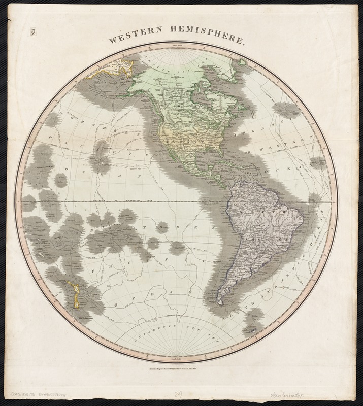
Western hemisphere
Western hemisphere
×
Item Information
Title:
Western hemisphere
Creator:
Thomson, John, 19th cent
Name on Item:
drawn & engraved for Thomson's New General Atlas.
Date:
[1815]
Format:
Maps/Atlases
Location:
Boston Public Library
Norman B. Leventhal Map Center
Collection (local):
Norman B. Leventhal Map Center Collection
Subjects:
Western Hemisphere--Maps
Places:
North and Central America
South America
Mesoamerica
(area)
North America
(area)
South America
America
Extent:
1 map : col. ; 50 cm. in diam.
Permalink:
https://ark.digitalcommonwealth.org/ark:/50959/wd3765109
Terms of Use:
No known copyright restrictions.
No known restrictions on use.
Publisher:
Edinburgh : John Thomson
Scale:
Scale [ca. 1:42,000,000]
Language:
English
Notes:
Relief shown pictorially.
"No. 5" in upper left corner.
Notes (date):
This date is inferred.
Identifier:
06_01_002546
Call #:
G3290 1815 .T5
Barcode:
39999058995471
show more...
View MODS XML
More Like This
America
America : nach Arrowsmith, Brué und Lapie mit Benutzung der ...
America : Nach Arrowsmith, Brué und Lapie mit Benutzung der ...
America
Find More Like This >>
Tools
Share
Facebook
Pinterest
X
Reddit
Tumblr
Email
Copy link
Add to Folder
Questions/Comments
Cite This Item
IIIF Manifest
Downloads
Primary (full resolution, uncompressed)
(TIF, 185 MB)
Large (full resolution)
(JPEG, 15.5 MB)
Medium
(JPEG, 210 KB)