Skip to search
Skip to main content
Digital Commonwealth
Sign Up / Log In
Search for
Search
Search
Search
Basic
Advanced
Explore
Map
Collections
Institutions
Formats
For Educators
Primary Source Sets
Lesson Plans
Using Primary Sources
Searching Digital Commonwealth
For Institutions
Join Digital Commonwealth
Conferences, Trainings, & Events
How to Contribute Collections
Digitization Services
Board & Committees
Frequently Asked Questions
About
About Digital Commonwealth
News & Announcements
Copyright & Terms of Use
Harmful Content Statement
Partners
API
Contact Us
Boston Public Library
Norman B. Leventhal Map Center Collection
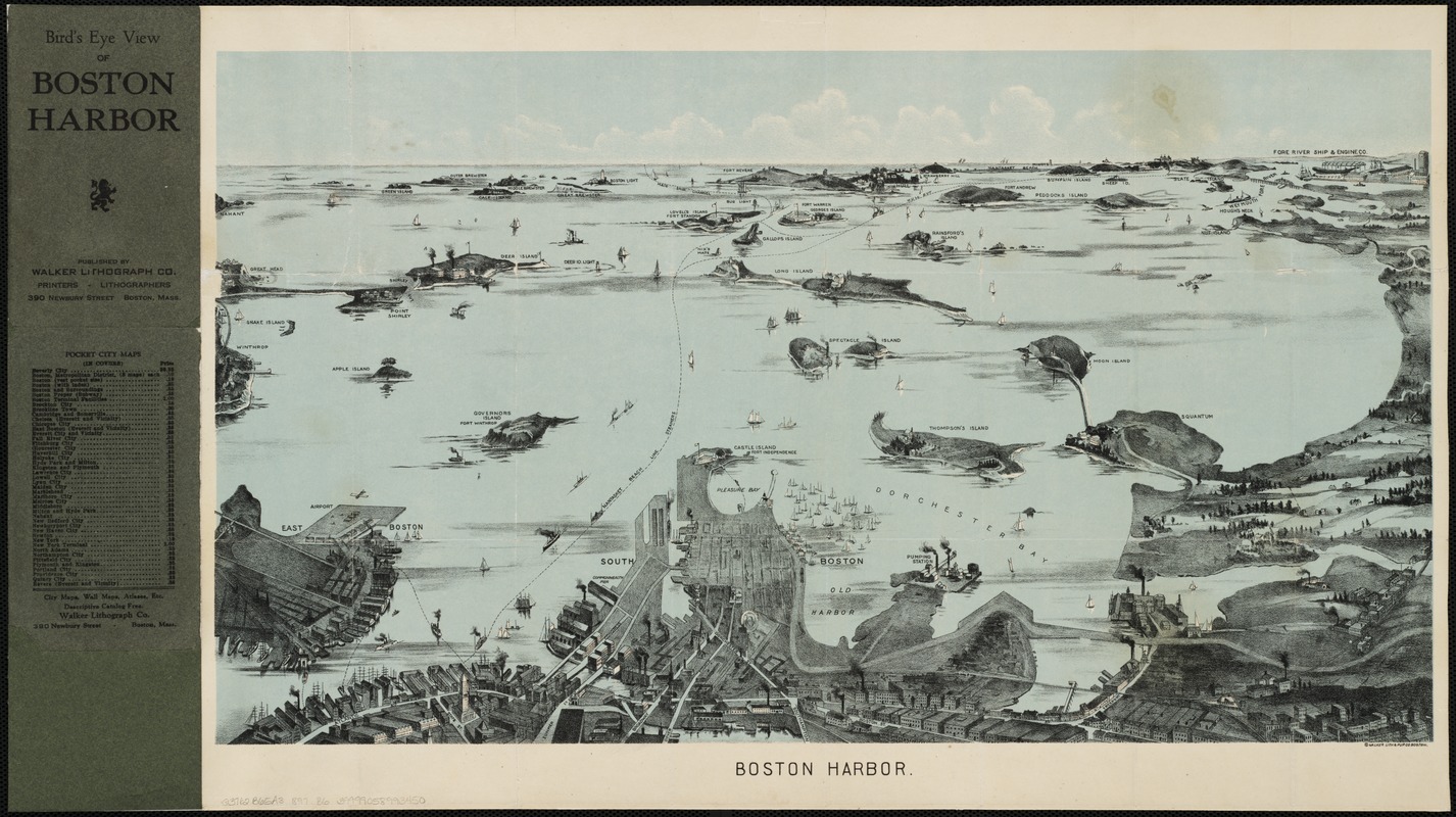
Boston Harbor
Boston Harbor
×
Item Information
Title:
Boston Harbor
Pamphlet title :
Bird's eye view of Boston Harbor
Creator:
Geo. H. Walker & Co
Date:
[1923?]
Format:
Maps/Atlases
Location:
Boston Public Library
Norman B. Leventhal Map Center
Collection (local):
Norman B. Leventhal Map Center Collection
Subjects:
Boston Harbor (Mass.)--Aerial views
Places:
Boston Harbor
Extent:
1 view : col. ; 31 x 54 cm.
Permalink:
https://ark.digitalcommonwealth.org/ark:/50959/wd376232q
Terms of Use:
No known copyright restrictions.
No known restrictions on use.
Publisher:
Boston, Mass : Geo. H. Walker & Co.
Scale:
Not drawn to scale.
Language:
English
Notes:
Bird's-eye view.
Identifier:
06_01_001906
Call #:
G3762.B65A3 1923 .B6
Barcode:
39999058993450
show more...
View MODS XML
More Like This
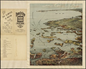
Balloon view--Boston Harbor
Bird's eye view of Boston Harbor and south shore to Provincetown ...
Boston Harbor
Boston to Nantasket Beach and Plymouth
Find More Like This >>
Tools
Share
Facebook
Pinterest
X
Reddit
Tumblr
Email
Copy link
Add to Folder
Questions/Comments
Cite This Item
IIIF Manifest
Downloads
Primary (full resolution, uncompressed)
(TIF, 106 MB)
Large (full resolution)
(JPEG, 8.91 MB)
Medium
(JPEG, 379 KB)