Sea Level Rise in New England
Item Information
- Title:
- Sea Level Rise in New England
- Description:
-
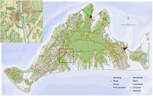
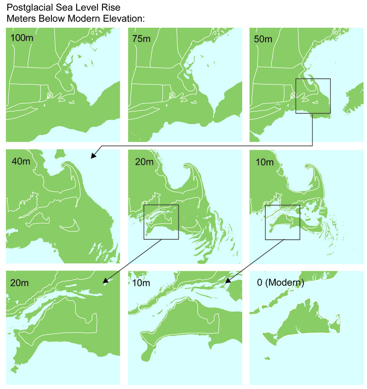
Using the history of sea level rise and modern bathymetric maps, we can reconstruct the changing configuration of the coast over time. Martha’s Vineyard and Nantucket became isolated from the mainland between five and six thousand years ago. Since that time, slight changes in sea level have produced remarkably profound alterations in the shape of the major landforms.
- Name on Item:
-
Brian R. Hall [Compiler]
- Date:
-
July 1, 2016
- Format:
-
Objects/Artifacts
- Genre:
-
Book illustrations
- Location:
-
Harvard University
Harvard Forest Archives - Collection (local):
-
Harvard Forest Martha's Vineyard Collection
- Subjects:
-
Coastal
Regional Studies
Sea level
- Places:
-
New England (area)
- Permalink:
- https://ark.digitalcommonwealth.org/ark:/50959/vh53xt05t
- Terms of Use:
-
Copyright (c) Brian R. Hall
This work is licensed for use under a Creative Commons Attribution Non-Commercial No Derivatives License (CC BY-NC-ND).