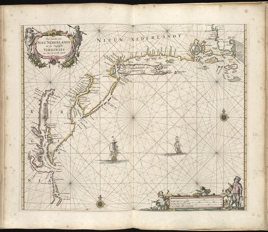
Map of the Atlantic coast of New England, the Middle Atlantic states, and Virginia.
Includes decorative cartouche and ill.
Appears in the author's De zee-atlas ofte water-wereld. Amsterdam: Pieter Goos, 1672.
Cataloging, conservation, and digitization made possible in part by The National Endowment for the Humanities: Exploring the human endeavor.
Atlas scanned by Internet Archive http://archive.org/details/dezeeatlasoftewa00goos