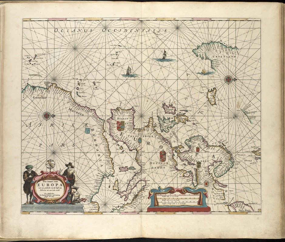
Map of Europe with the coast of Africa and Cape Verde.
Oriented with north to the right.
Includes coats of arms, illustations, and an elaborate cartouche.
From the author's Zee-atlas of Water-waerelt. Amsterdam: By Hendrik Doncker, boeckverkooper, en graat-boog-maker, in de Nieuwe-brug-steegh, in 't Stuurmans Gereetschap, Anno 1660 [i.e. 1665].
Cataloging, conservation, and digitization made possible in part by The National Endowment for the Humanities: Exploring the human endeavor.
Atlas scanned by Internet Archive http://archive.org/details/dezeeatlasofwate00donc