Title from item or accompanying materials.
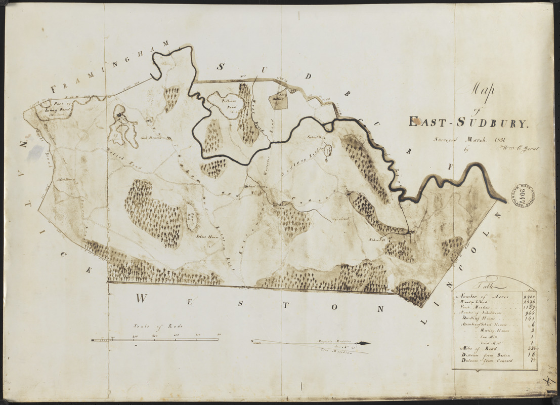
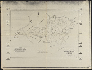
Photocopy of 1831 map. Stamped Mass. Archives Maps & Plans 2047. William C. Grout surveyor. Map includes illustrations of trees, roads, ponds, river, and a table of acres, inhabitants, dwellings, schools, meeting houses, saw mills, grist mills, miles of roads, fresh meadow and woodlands, distance from Boston and distance from Concord.
Notes (date):
Date from item or accompanying materials.
Copy made 1900-2000.