Skip to search
Skip to main content
Digital Commonwealth
Sign Up / Log In
Search for
Search
Search
Search
Basic
Advanced
Explore
Map
Collections
Institutions
Formats
For Educators
Primary Source Sets
Lesson Plans
Using Primary Sources
Searching Digital Commonwealth
For Institutions
Join Digital Commonwealth
Conferences, Trainings, & Events
How to Contribute Collections
Digitization Services
Board & Committees
Frequently Asked Questions
About
About Digital Commonwealth
News & Announcements
Copyright & Terms of Use
Harmful Content Statement
Partners
API
Contact Us
Boston Public Library
Norman B. Leventhal Map Center Collection
/
Boston Redevelopment Authority Collection
/
Urban Maps (Collection of Distinction)
/
Boston and New England Maps (Collection of Distinction)
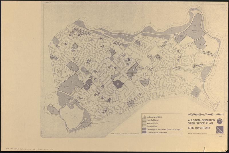
Allston-Brighton open space plan site inventory
Allston-Brighton open space plan site inventory
×
Item Information
Title:
Allston-Brighton open space plan site inventory
Cartographer:
Boston Redevelopment Authority
Name on Item:
Boston Redevelopment Authority
Date:
[1980–1990]
Format:
Maps/Atlases
Location:
Boston Public Library
Norman B. Leventhal Map Center
Collection (local):
Norman B. Leventhal Map Center Collection
Series:
Boston Redevelopment Authority Maps & Manuscript Plans Collection
Subjects:
Allston (Boston, Mass.)--Maps
Brighton (Boston, Mass.)--Maps
City planning--Massachusetts--Boston--Maps
Open spaces--Massachusetts--Boston--Maps
Places:
Suffolk (county)
>
Boston
>
Allston
Suffolk (county)
>
Boston
>
Brighton
Extent:
1 map ; 53 x 74 cm
Permalink:
https://ark.digitalcommonwealth.org/ark:/50959/rv045b15k
Terms of Use:
No known copyright restrictions.
No known restrictions on use.
Publisher:
[Boston] : Boston Redevelopment Authority
Scale:
Scale approximately 1:7,440
Language:
English
Notes:
Photocopy of a map showing urban wild sites, institutional, vacant lots, roadsides, geological features (outcroppings) and distinctive features.
Oriented with north to the upper right.
Boston Public Library lacking inventory listing.
Notes (date):
This date is inferred.
Identifier:
06_01_017879
Call #:
BRA MAP FOLDER 31 no.2
Barcode:
30000007747818
show more...
View MODS XML
More Like This
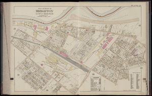
Brighton and Allston urban design strategy
North Harvard project area : location map
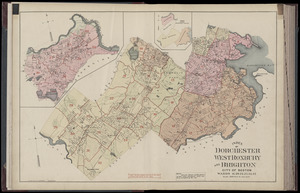
Atlas of Dorchester, West Roxbury and Brighton, city of Boston : ...
Atlas of Dorchester, West Roxbury and Brighton, city of Boston : ...
Find More Like This >>
Tools
Share
Facebook
Pinterest
X
Reddit
Tumblr
Email
Copy link
Add to Folder
Questions/Comments
Cite This Item
IIIF Manifest
Downloads
Primary (full resolution, uncompressed)
(TIF, 116 MB)
Large (full resolution)
(JPEG, 9.75 MB)
Medium
(JPEG, 81.1 KB)