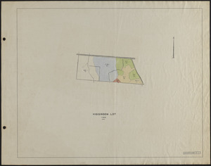
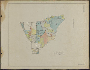
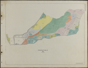
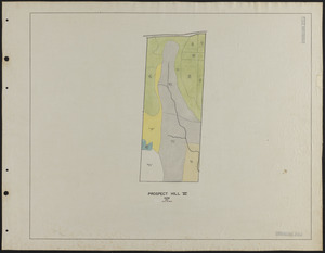
Adams-Fay Lot (TS IX) 1929 stand map
Item Information
- Title:
- Adams-Fay Lot (TS IX) 1929 stand map
- Description:
-
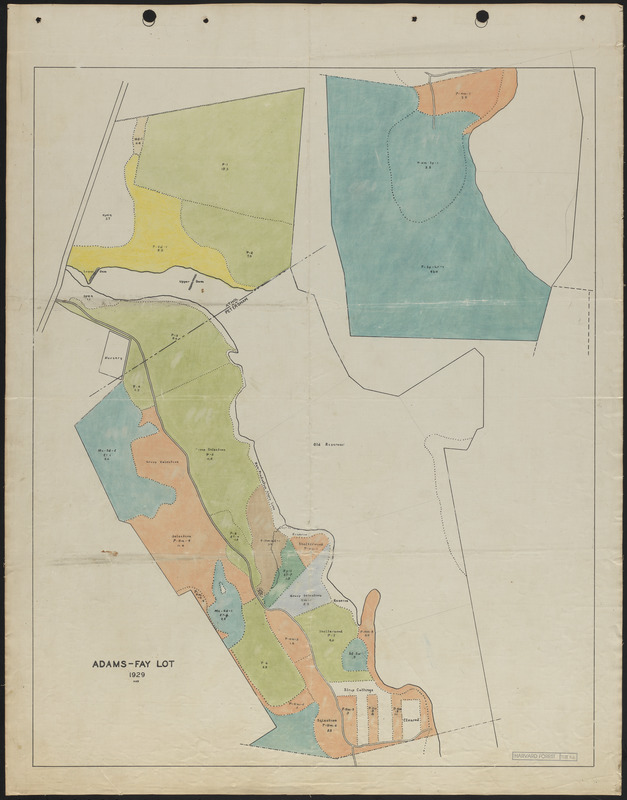
Adams-Fay Lot 1929 Stand Map and Experimental Reproduction Cutting Operations
- Creator:
- Salls, M. R.
- Name on Item:
-
MRS
- Date:
-
1929
- Format:
-
Maps/Atlases
- Genre:
-
Stand maps
- Location:
-
Harvard University
Harvard Forest Archives
Stack # 1; Drawer # 9 (shelf locator) - Collection (local):
-
The Harvard Forest Map Collection
- Subjects:
-
1929
- Places:
-
MassachusettsWorcester (county)Tom Swamp
MassachusettsWorcester (county)Petersham
Tom Swamp Tract Compartment IX
- Extent:
- 1 map : colored map ; 22.5 x 28.5 in.
- Permalink:
- https://ark.digitalcommonwealth.org/ark:/50959/qv33t856t
- Terms of Use:
-
Copyright (c) President and Fellows of Harvard College, Harvard Forest Archives
This work is licensed for use under a Creative Commons Attribution Non-Commercial No Derivatives License (CC BY-NC-ND).