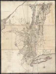
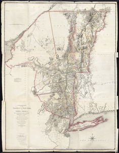
A map containing part of the Provinces of New York and New Jersey

Item Information
- Title:
- A map containing part of the Provinces of New York and New Jersey
- Creator:
- Skinner, Andrew, (Geographer)
- Contributor:
- Millidge, Thomas
- Contributor:
- De Lancey, Oliver, 1752-1822
- Name on Item:
-
drawn from surveys compiled by Thomas Millidge, major 1st Battalion, New Jersey Volunteers, 1780. This map is drawn for Oliver Delancey, Esquire, adjutant general of N: America & major of the 17th Light Dragoons, by Andrew Skinner, 1781
- Date:
-
[1781]
- Format:
-
Maps/Atlases
Manuscripts
- Location:
- Library of Congress Geography and Map Division
- Collection (local):
-
Library of Congress Collection
- Subjects:
-
New York (State)--Maps, Manuscript--Early works to 1800
New Jersey--Maps, Manuscript--Early works to 1800
Real property--New York (State)--Maps--Early works to 1800
Real property--New Jersey--Maps--Early works to 1800
- Places:
-
New York
New Jersey
- Extent:
- 1 manuscript map : hand color 167 x 90 cm.
- Permalink:
- https://ark.digitalcommonwealth.org/ark:/50959/q524nj38b
- Terms of Use:
-
No known copyright restrictions.
This work is licensed for use under a Creative Commons Attribution Non-Commercial Share Alike License (CC BY-NC-SA).

 IIIF Manifest