Dimensions measured from plate marks.
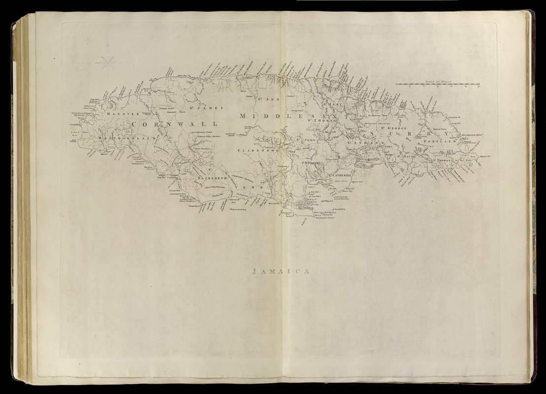
Detailed map showing counties, parishes, towns, and geographic features.
Boston Public Library copy inserted into Jefferys' General topography of North America and the West Indies. London: Printed for Robert Sayer, ... and Thomas Jefferys, 1768.