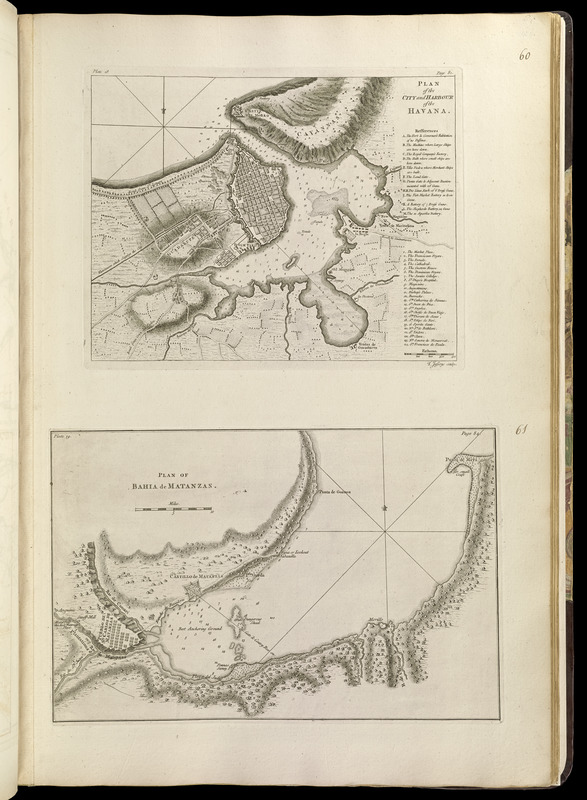
Relief shown by hachures and land form drawings. Depths shown by soundings.
1st state.
Map of Havana includes references to points of interest.
In upper left of map of Havana: plate 18. In upper right: page 81.
In upper left of map of Matanzas Bay: plate 19. In upper right: page 84.
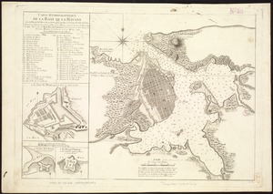
Appears in Jefferys' General topography of North America and the West Indies. London: Printed for Robert Sayer, ... and Thomas Jefferys, 1768.
Notes (date):
This date is inferred.
Notes (citation):
LC Maps of North America, 1750-1789, 1809, 1826
Phillips, 1196