Skip to search
Skip to main content
Digital Commonwealth
Sign Up / Log In
Search for
Search
Search
Search
Basic
Advanced
Explore
Map
Collections
Institutions
Formats
For Educators
Primary Source Sets
Lesson Plans
Using Primary Sources
Searching Digital Commonwealth
For Institutions
Join Digital Commonwealth
Conferences, Trainings, & Events
How to Contribute Collections
Digitization Services
Board & Committees
Frequently Asked Questions
About
About Digital Commonwealth
News & Announcements
Copyright & Terms of Use
Harmful Content Statement
Partners
API
Contact Us
Waltham Public Library
Waltham Public Library Map Collection
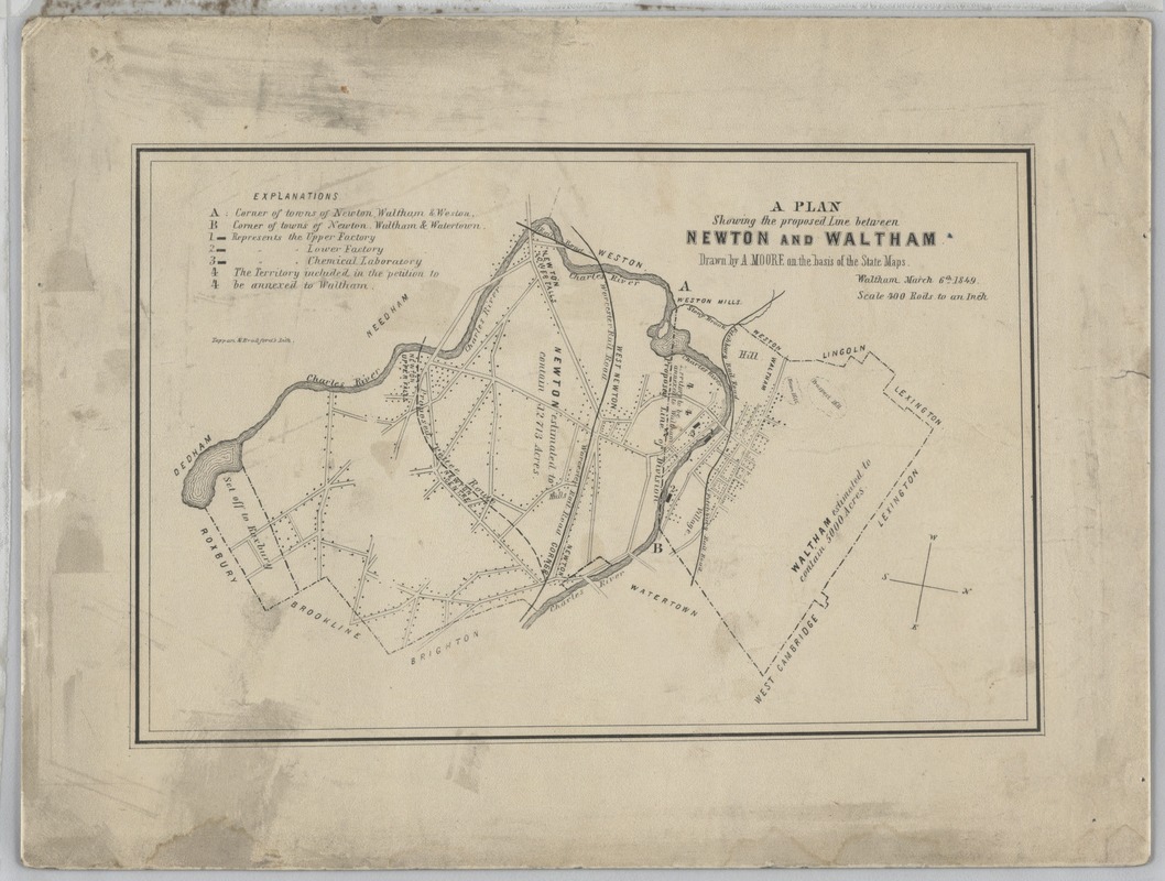
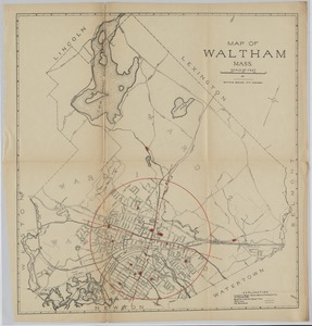
A plan showing the proposed line between Newton and Waltham
A plan showing the proposed line between Newton and Waltham
×
Item Information
Title:
A plan showing the proposed line between Newton and Waltham
Name on Item:
Drawn by A. Moore on the basis of State Maps
Date:
March 6, 1849
Format:
Maps/Atlases
Location:
Waltham Public Library
Waltham room (shelf locator)
Collection (local):
Waltham Maps
Places:
Massachusetts
>
Middlesex (county)
>
Newton
Massachusetts
>
Middlesex (county)
>
Waltham
Extent:
1 map
Permalink:
https://ark.digitalcommonwealth.org/ark:/50959/nz808025n
Terms of Use:
No known copyright restrictions.
Contact host institution for more information.
Place of origin:
Waltham
Language:
English
Notes:
Title from item.
Notes (date):
Date from item.
Identifier:
1
show more...
View MODS XML
More Like This
Map of the Towne of Waltham Middlesex Co.
Map of Waltham and Watertown
Map of Waltham and Watertown
Map of Waltham Mass.
Find More Like This >>
Tools
Share
Facebook
Pinterest
X
Reddit
Tumblr
Email
Copy link
Add to Folder
Questions/Comments
Cite This Item