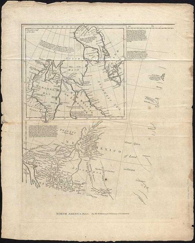
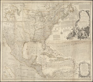
North America, plate I
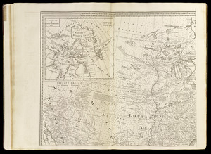
pl. II
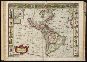
North America, plate III
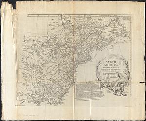
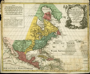
Part of North America, plate IV
Notes:
Relief shown pictorially.
Prime meridian: Ferro.
Shows provinces, cities and towns, forts, Indian villages and tribal territory.
Also shows shoals, banks, and other navigational hazards off the coast of Nova Scotia and in the Caribbean area.
From The universal dictionary of trade and commerce volume II / by Malachy Postlethwayt. 4th edition. London : Printed for W. Strahan, J. and F. Rivington, J. Hinton [and others], 1774.
Includes inset of northeastern Canada, historical and descriptive notes, and text "Pursuant to the last Treaty of Peace concluded at Paris, Feb. 10, 1763."
Statements for Mr. Postlethwayt's Dictionary of trade & commerce at bottom of plates.
Boston Public Library lacking plate III.
Note about maps for Mr. Postlethwayt's Dictionary of commerce in decorative cartouche in lower left.
Decorative title cartouche depicting a Native American woman, two children and flora and fauna of North America.
 IIIF Manifest