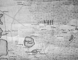
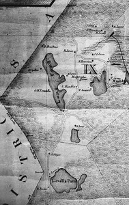
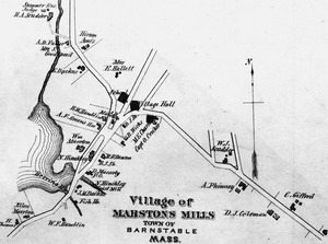
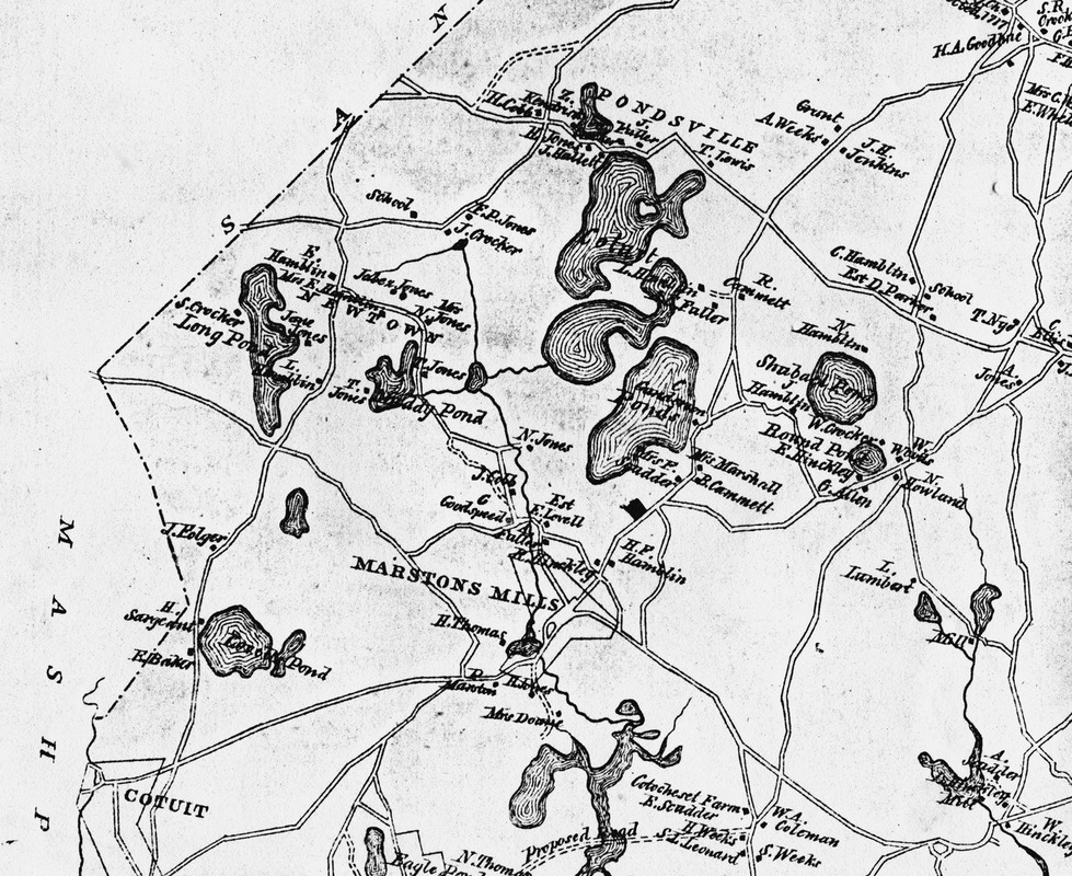
Ponds and airfield map
Item Information
- Title:
- Ponds and airfield map
- Date:
-
1856
- Format:
-
Maps/Atlases
- Location:
- Marstons Mills Historical Society
- Collection (local):
-
Marstons Mills Historical Society Photograph Collection
- Subjects:
-
Villages
Places
- Places:
-
MassachusettsBarnstable (county)Marstons Mills
MassachusettsBarnstable (county)Pondsville
- Extent:
- 1 map
- Permalink:
- https://ark.digitalcommonwealth.org/ark:/50959/k0698m34c
- Terms of Use:
-
Rights status not evaluated.
This work is licensed for use under a Creative Commons Attribution Non-Commercial No Derivatives License (CC BY-NC-ND).