Skip to search
Skip to main content
Digital Commonwealth
Sign Up / Log In
Search for
Search
Search
Search
Basic
Advanced
Explore
Map
Collections
Institutions
Formats
For Educators
Primary Source Sets
Lesson Plans
Using Primary Sources
Searching Digital Commonwealth
For Institutions
Join Digital Commonwealth
Conferences, Trainings, & Events
How to Contribute Collections
Digitization Services
Board & Committees
Frequently Asked Questions
About
About Digital Commonwealth
News & Announcements
Copyright & Terms of Use
Harmful Content Statement
Partners
API
Contact Us
Boston Public Library
Norman B. Leventhal Map Center Collection
/
Urban Maps (Collection of Distinction)
/
Boston and New England Maps (Collection of Distinction)
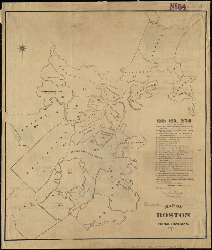
Map of Boston postal stations
Map of Boston postal stations
×
Item Information
Title:
Map of Boston postal stations
Date:
1891
Format:
Maps/Atlases
Location:
Boston Public Library
Norman B. Leventhal Map Center
Collection (local):
Norman B. Leventhal Map Center Collection
Subjects:
Postal service--Massachusetts--Boston--Maps
Boston (Mass.)--Maps
Places:
Suffolk (county)
>
Boston
Extent:
1 map ; 46 x 40 cm.
Permalink:
https://ark.digitalcommonwealth.org/ark:/50959/js956k73t
Terms of Use:
No known copyright restrictions.
No known restrictions on use.
Publisher:
Boston? : [s.n.]
Scale:
Scale not given.
Language:
English
Identifier:
06_01_004691
Call #:
G3764.B6P8 1891 .M3
Barcode:
39999059006864
show more...
View MODS XML
More Like This
Annexation map
Atlas of the city of Boston : Boston proper : from actual surveys ...
Atlas of the city of Boston : Boston proper and Back Bay : from ...
Atlas of the city of Boston : Boston proper and Back Bay : from ...
Find More Like This >>
Tools
Share
Facebook
Pinterest
X
Reddit
Tumblr
Email
Copy link
Add to Folder
Questions/Comments
Cite This Item
IIIF Manifest
Downloads
Primary (full resolution, uncompressed)
(TIF, 54 MB)
Large (full resolution)
(JPEG, 4.54 MB)
Medium
(JPEG, 185 KB)