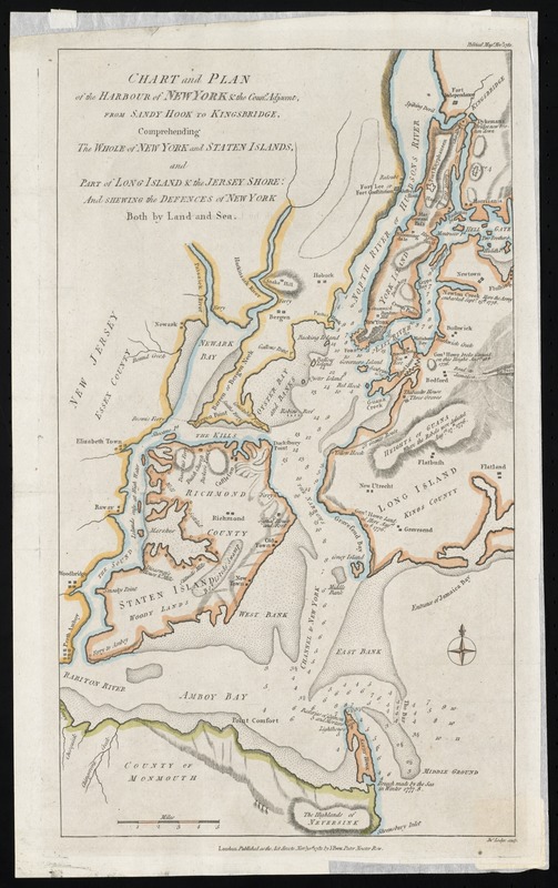
Chart and plan of the harbour of New York & the couny. adjacent, from Sandy Hook to Kingsbridge, comprehending the whole of New York and Staten Islands, and part of Long Island & the Jersey shore : and shewing the defences of New York both by land and sea
Chart and plan of the harbour of New York & the couny. adjacent, from Sandy Hook to Kingsbridge, comprehending the whole of New York and Staten Islands, and part of Long Island & the Jersey shore
Item Information
Title:
Chart and plan of the harbour of New York & the couny. adjacent, from Sandy Hook to Kingsbridge, comprehending the whole of New York and Staten Islands, and part of Long Island & the Jersey shore : and shewing the defences of New York both by land and sea
Relief shown by hachures.
Depths shown by soundings.
"Political Mage. Novr. 1781."
From Political magazine, volume 2, opposite page 656.
"Published as the act directs Novr. 30th, 1781."
Notes (citation):
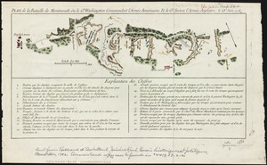
Nebenzahl, Kenneth. Bibliography of printed battle plans, 104