Skip to search
Skip to main content
Digital Commonwealth
Sign Up / Log In
Search for
Search
Search
Search
Basic
Advanced
Explore
Map
Collections
Institutions
Formats
For Educators
Primary Source Sets
Lesson Plans
Using Primary Sources
Searching Digital Commonwealth
For Institutions
Join Digital Commonwealth
Conferences, Trainings, & Events
How to Contribute Collections
Digitization Services
Board & Committees
Frequently Asked Questions
About
About Digital Commonwealth
News & Announcements
Copyright & Terms of Use
Harmful Content Statement
Partners
API
Contact Us
Boston Public Library
Norman B. Leventhal Map Center Collection
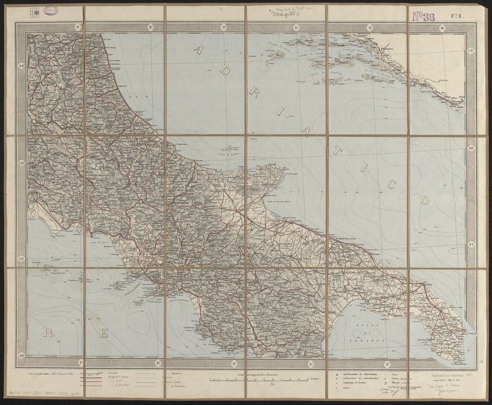
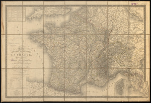
Carta d'Italia : alla scala di la 800,000
Carta dItalia
×
Item Information
Title:
Carta d'Italia : alla scala di la 800,000
Cartographer:
Istituto geografico militare (Italy)
Date:
1904
Format:
Maps/Atlases
Location:
Boston Public Library
Norman B. Leventhal Map Center
Collection (local):
Norman B. Leventhal Map Center Collection
Subjects:
Italy--Maps
Places:
Italy
Extent:
1 map on 6 sheets : color ; sheets 57 x 70 cm
Permalink:
https://ark.digitalcommonwealth.org/ark:/50959/ht250903r
Terms of Use:
No known copyright restrictions.
No known restrictions on use.
Publisher:
[Rome] : Istituto geografico militare
Scale:
Scale 1:800,000
Language:
Italian
Notes:
Relief shown by hachures and spot heights. Depths shown by isolines.
Prime meridian: Rome.
Identifier:
06_01_015098
Call #:
G6710 1904 .I88
Barcode:
39999085931614
show more...
View MODS XML
More Like This
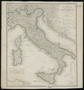
Carta geografica e postale dell' Italia ridotta dalle migliori ...
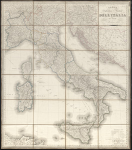
Carta statistica e postale dell'Italia
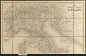
Carte physique & routière de l'Italie indiquant les distances ...
Carte physique et routière de la France, de la Suisse, et de ...
Find More Like This >>
Tools
Share
Facebook
Pinterest
X
Reddit
Tumblr
Email
Copy link
Add to Folder
Questions/Comments
Cite This Item
IIIF Manifest
Downloads
Primary (full resolution, uncompressed)
(TIF, 86.2 MB)
Large (full resolution)
(JPEG, 7.23 MB)
Medium
(JPEG, 333 KB)