Skip to search
Skip to main content
Digital Commonwealth
Sign Up / Log In
Search for
Search
Search
Search
Basic
Advanced
Explore
Map
Collections
Institutions
Formats
For Educators
Primary Source Sets
Lesson Plans
Using Primary Sources
Searching Digital Commonwealth
For Institutions
Join Digital Commonwealth
Conferences, Trainings, & Events
How to Contribute Collections
Digitization Services
Board & Committees
Frequently Asked Questions
About
About Digital Commonwealth
News & Announcements
Copyright & Terms of Use
Harmful Content Statement
Partners
API
Contact Us
Boston Public Library
Norman B. Leventhal Map Center Collection
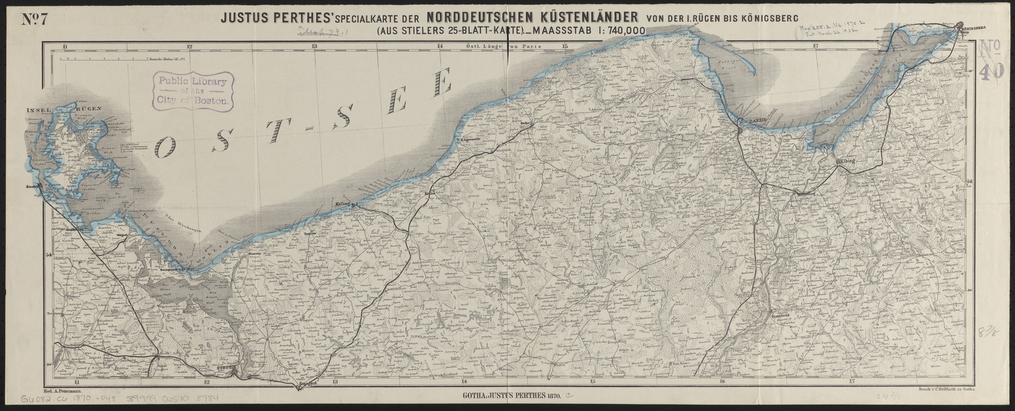
Justus Perthes' specialkarte der norddeutschen küstenländer von der I. Rügen bis Königsberg : (aus Stielers 25-blatt-karte)
Justus Perthes specialkarte der norddeutschen küstenländer von der I. Rügen bis Königsberg
×
Item Information
Title:
Justus Perthes' specialkarte der norddeutschen küstenländer von der I. Rügen bis Königsberg : (aus Stielers 25-blatt-karte)
Title (alt.):
Specialkarte der norddeutschen küstenländer von der I. Rügen bis Königsberg
Cartographer:
Petermann, A. (August), 1822-1878
Printer:
Hellfarth, C.
Publisher:
Justus Perthes (Firm : Gotha, Germany)
Name on Item:
red. A. Petermann
Date:
1870
Format:
Maps/Atlases
Location:
Boston Public Library
Norman B. Leventhal Map Center
Collection (local):
Norman B. Leventhal Map Center Collection
Subjects:
Coasts--Germany--Maps
Germany--Maps
Places:
Germany
Extent:
1 map : color ; 26 x 66 cm
Permalink:
https://ark.digitalcommonwealth.org/ark:/50959/ht250798w
Terms of Use:
No known copyright restrictions.
No known restrictions on use.
Publisher:
Gotha : Justus Perthes
Scale:
Scale 1:740,000
Language:
German
Notes:
Relief shown by hachures.
Prime meridian: Paris.
In upper left: no. 7.
Identifier:
06_01_014939
Call #:
G6082.C6 1870 .P48
Barcode:
39999065708784
show more...
View MODS XML
More Like This
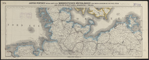
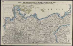
Justus Perthes' specialkarte der norddeutschen küstenländer von ...
Justus Perthes' übersichtskarte der norddeutschen küstenländer ...
Übersichtskarte der Deutschen Nord u. Ost-see küste
Black's general map of the seat of war
Find More Like This >>
Tools
Share
Facebook
Pinterest
X
Reddit
Tumblr
Email
Copy link
Add to Folder
Questions/Comments
Cite This Item
IIIF Manifest
Downloads
Primary (full resolution, uncompressed)
(TIF, 68.2 MB)
Large (full resolution)
(JPEG, 5.72 MB)
Medium
(JPEG, 686 KB)