Skip to search
Skip to main content
Digital Commonwealth
Sign Up / Log In
Search for
Search
Search
Search
Basic
Advanced
Explore
Map
Collections
Institutions
Formats
For Educators
Primary Source Sets
Lesson Plans
Using Primary Sources
Searching Digital Commonwealth
For Institutions
Join Digital Commonwealth
Conferences, Trainings, & Events
How to Contribute Collections
Digitization Services
Board & Committees
Frequently Asked Questions
About
About Digital Commonwealth
News & Announcements
Copyright & Terms of Use
Harmful Content Statement
Partners
API
Contact Us
Boston Public Library
Norman B. Leventhal Map Center Collection
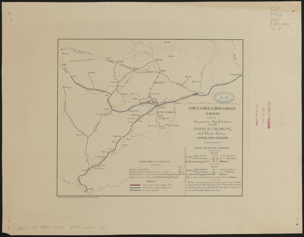
Comparative map of distances between Paris & Cologne, and likewise between Dover and Cologne
Comparative map of distances between Paris & Cologne, and likewise between Dover and Cologne
×
Item Information
Title:
Comparative map of distances between Paris & Cologne, and likewise between Dover and Cologne
Cartographer:
Namur and Liége and Mons and Manage Railways
Publisher:
Etablissement géographique de Bruxelles
Name on Item:
Namur & Liége & Mons & Manage Railways
Date:
[1850?–1859?]
Format:
Maps/Atlases
Location:
Boston Public Library
Norman B. Leventhal Map Center
Collection (local):
Norman B. Leventhal Map Center Collection
Series:
Vattemare Collection
Subjects:
Railroads--Belgium--Maps
Railroads--France--Maps
Belgium--Maps
France--Maps
Places:
Belgium
France
Extent:
1 map : color ; 24 x 29 cm
Permalink:
https://ark.digitalcommonwealth.org/ark:/50959/ht2507022
Terms of Use:
No known copyright restrictions.
No known restrictions on use.
Publisher:
Bruxelles : Etablissement géographique de Bruxelles fondé par Ph. Vandermaelen
Scale:
Scale approximately 1:1,350,000
Language:
English
Notes:
Includes list of distances.
Identifier:
06_01_014978
Call #:
G6011.P3 1850 .N362
Barcode:
39999065708461
show more...
View MODS XML
More Like This
Comparative map of distances between Paris & Cologne, and likewise ...
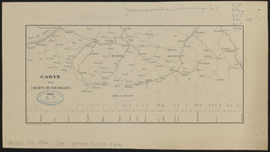
Carte des chemins de fer Belges
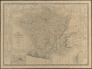
Carte de France indiquant les chemins de fer et les routes, avec ...
France kilométrique : carte indiquant les distances ...
Find More Like This >>
Tools
Share
Facebook
Pinterest
X
Reddit
Tumblr
Email
Copy link
Add to Folder
Questions/Comments
Cite This Item
IIIF Manifest
Downloads
Primary (full resolution, uncompressed)
(TIF, 71.6 MB)
Large (full resolution)
(JPEG, 6.02 MB)
Medium
(JPEG, 176 KB)