Skip to search
Skip to main content
Digital Commonwealth
Sign Up / Log In
Search for
Search
Search
Search
Basic
Advanced
Explore
Map
Collections
Institutions
Formats
For Educators
Primary Source Sets
Lesson Plans
Using Primary Sources
Searching Digital Commonwealth
For Institutions
Join Digital Commonwealth
Conferences, Trainings, & Events
How to Contribute Collections
Digitization Services
Board & Committees
Frequently Asked Questions
About
About Digital Commonwealth
News & Announcements
Copyright & Terms of Use
Harmful Content Statement
Partners
API
Contact Us
Boston Public Library
Norman B. Leventhal Map Center Collection
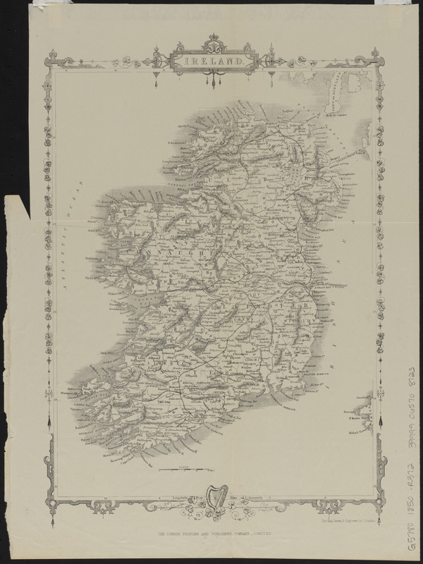
Ireland
Ireland
×
Item Information
Title:
Ireland
Cartographer:
Rapkin, J.
Publisher:
London Printing and Publishing Company
Name on Item:
the map drawn & engraved by J. Rapkin
Date:
[1850?–1859?]
Format:
Maps/Atlases
Location:
Boston Public Library
Norman B. Leventhal Map Center
Collection (local):
Norman B. Leventhal Map Center Collection
Subjects:
Ireland--Maps
Places:
Ireland
Extent:
1 map ; 30 x 22 cm
Permalink:
https://ark.digitalcommonwealth.org/ark:/50959/ht2505470
Terms of Use:
No known copyright restrictions.
No known restrictions on use.
Publisher:
[London] : The London Printing and Publishing Company, Limited
Scale:
Scale approximately 1:1,880,000
Language:
English
Notes:
Relief shown by hachures.
Identifier:
06_01_015035
Call #:
G5780 1850 .R372
Barcode:
39999065708123
show more...
View MODS XML
More Like This
British Isles and Ireland
Ireland
Ireland
Ireland : from the best authorities, with the distances laid down ...
Find More Like This >>
Tools
Share
Facebook
Pinterest
X
Reddit
Tumblr
Email
Copy link
Add to Folder
Questions/Comments
Cite This Item
IIIF Manifest
Downloads
Primary (full resolution, uncompressed)
(TIF, 90.5 MB)
Large (full resolution)
(JPEG, 7.6 MB)
Medium
(JPEG, 162 KB)