Skip to search
Skip to main content
Digital Commonwealth
Sign Up / Log In
Search for
Search
Search
Search
Basic
Advanced
Explore
Map
Collections
Institutions
Formats
For Educators
Primary Source Sets
Lesson Plans
Using Primary Sources
Searching Digital Commonwealth
For Institutions
Join Digital Commonwealth
Conferences, Trainings, & Events
How to Contribute Collections
Digitization Services
Board & Committees
Frequently Asked Questions
About
About Digital Commonwealth
News & Announcements
Copyright & Terms of Use
Harmful Content Statement
Partners
API
Contact Us
Boston Public Library
Norman B. Leventhal Map Center Collection
Worcestershire and Gloucestershire
Worcestershire and Gloucestershire
×
Item Information
Title:
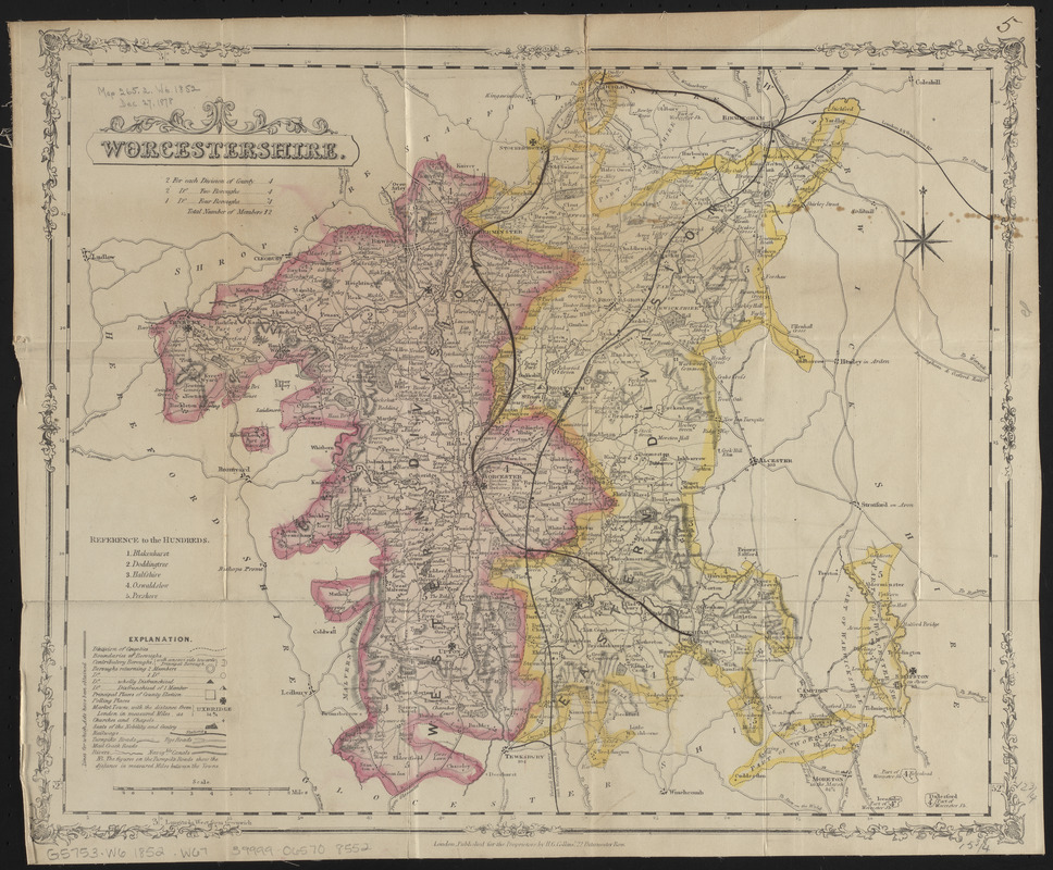
Worcestershire and Gloucestershire
Cartographer:
Weller, Edward, -1884
Name on Item:
by Edwd. Weller, F.R.G.S.
Date:
[1863]
Format:
Maps/Atlases
Location:
Boston Public Library
Norman B. Leventhal Map Center
Collection (local):
Norman B. Leventhal Map Center Collection
Subjects:
Gloucestershire (England)--Maps
Worcestershire (England)--Maps
Places:
England
>
Gloucestershire (county)
England
>
Worcestershire (county)
Extent:
1 map on 2 sheets : color ; sheets 36 x 50 cm
Permalink:
https://ark.digitalcommonwealth.org/ark:/50959/ht2504856
Terms of Use:
No known copyright restrictions.
No known restrictions on use.
Publisher:
[London] : Weekly Dispatch
Scale:
Scale approximately 1:195,000
Language:
English
Table of Contents:
North sheet
South sheet.
Notes:
Relief shown by hachures.
In lower left: Weekly Dispatch atlas.
Notes (date):
This date is inferred.
Identifier:
06_01_014919
Call #:
G5753.W6 1852 .W67
Barcode:
39999065708552
show more...
View MODS XML
More Like This
Worcestershire
The 100th anniversary map of Abraham Lincoln's visit to ...
1630 shoreline
1879. Progress map of the U.S. Geographical Surveys west of the ...
Find More Like This >>
Tools
Share
Facebook
Pinterest
X
Reddit
Tumblr
Email
Copy link
Add to Folder
Questions/Comments
Cite This Item
IIIF Manifest
Downloads
Primary (full resolution, uncompressed)
(TIF, 59 MB)
Large (full resolution)
(JPEG, 4.95 MB)
Medium
(JPEG, 344 KB)