Skip to search
Skip to main content
Digital Commonwealth
Sign Up / Log In
Search for
Search
Search
Search
Basic
Advanced
Explore
Map
Collections
Institutions
Formats
For Educators
Primary Source Sets
Lesson Plans
Using Primary Sources
Searching Digital Commonwealth
For Institutions
Join Digital Commonwealth
Conferences, Trainings, & Events
How to Contribute Collections
Digitization Services
Board & Committees
Frequently Asked Questions
About
About Digital Commonwealth
News & Announcements
Copyright & Terms of Use
Harmful Content Statement
Partners
API
Contact Us
Boston Public Library
Norman B. Leventhal Map Center Collection
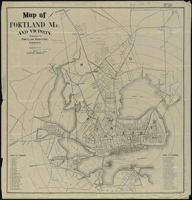
Map of Portland, Me. and vicinity
Map of Portland, Me. and vicinity
×
Item Information
Title:
Map of Portland, Me. and vicinity
Creator:
Tower, Fred L.
Name on Item:
F.L. Tower, del.
Date:
1902
Format:
Maps/Atlases
Location:
Boston Public Library
Norman B. Leventhal Map Center
Collection (local):
Norman B. Leventhal Map Center Collection
Subjects:
Portland (Me.)--Maps
Places:
Cumberland (county)
>
Portland
Extent:
1 map ; 70 x 67 cm.
Permalink:
https://ark.digitalcommonwealth.org/ark:/50959/cj82m705h
Terms of Use:
No known copyright restrictions.
No known restrictions on use.
Publisher:
[Portland, Me.] : Portland Directory Company
Scale:
Scale [ca. 1:12,000]
Language:
English
Notes:
Shows city districts and radial distances from City Hall.
Oriented with north to the upper right.
Includes index to points of interest.
Identifier:
06_01_010448
Call #:
G3734.P8 1902 .T69
Barcode:
39999065672709
show more...
View MODS XML
More Like This
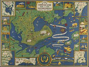
A map of Portland Maine and some places thereabout
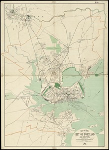
Map of the city of Portland and vicinity
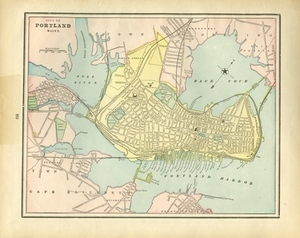
City of Portland Maine.
The 100th anniversary map of Abraham Lincoln's visit to ...
Find More Like This >>
Tools
Share
Facebook
Pinterest
X
Reddit
Tumblr
Email
Copy link
Add to Folder
Questions/Comments
Cite This Item
IIIF Manifest
Downloads
Primary (full resolution, uncompressed)
(TIF, 247 MB)
Large (full resolution)
(JPEG, 20.8 MB)
Medium
(JPEG, 227 KB)