Skip to search
Skip to main content
Digital Commonwealth
Sign Up / Log In
Search for
Search
Search
Search
Basic
Advanced
Explore
Map
Collections
Institutions
Formats
For Educators
Primary Source Sets
Lesson Plans
Using Primary Sources
Searching Digital Commonwealth
For Institutions
Join Digital Commonwealth
Conferences, Trainings, & Events
How to Contribute Collections
Digitization Services
Board & Committees
Frequently Asked Questions
About
About Digital Commonwealth
News & Announcements
Copyright & Terms of Use
Harmful Content Statement
Partners
API
Contact Us
Boston Public Library
Norman B. Leventhal Map Center Collection
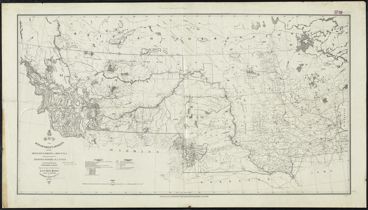
Map of the Department of Dakota including Minnesota, Dakota and Montana
Map of the Department of Dakota including Minnesota, Dakota and Montana
×
Item Information
Title:
Map of the Department of Dakota including Minnesota, Dakota and Montana
Creator:
Rakowicz, E. H.
Name on Item:
prepared by authority of Brigadier General A.H. Terry in the Engineer Office, Department of Dakota ; compiled and drawn under the direction of Lieut. John Biddle, Corps of Engineers by E.H. Rakowicz.
Date:
1886
Format:
Maps/Atlases
Location:
Boston Public Library
Norman B. Leventhal Map Center
Collection (local):
Norman B. Leventhal Map Center Collection
Subjects:
United States. Army. Dept. of Dakota--Maps
Minnesota--Maps
Montana--Maps
South Dakota--Maps
North Dakota--Maps
Northwestern States--Maps
Places:
North Dakota
South Dakota
Montana
Minnesota
Great Plains
(area)
Extent:
1 map ; 65 x 122 cm.
Permalink:
https://ark.digitalcommonwealth.org/ark:/50959/cj82kq02d
Terms of Use:
No known copyright restrictions.
No known restrictions on use.
Publisher:
[Washington, D.C.] : Office of the Chief of Engineers
Scale:
Scale 1:1,500,000
Language:
English
Notes:
Shows military posts and reservations, indian reservations, telegraph lines, wagon roads, trails, and boundaries.
Relief shown by hachures.
Identifier:
06_01_009271
Call #:
G4125 1886 .R35
Barcode:
39999065660035
show more...
View MODS XML
More Like This
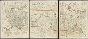
Map of the Department of Dakota including Minnesota, North Dakota, ...
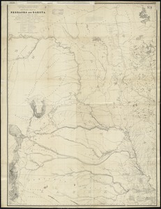
Military map of Nebraska and Dakota
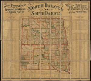
The National Publishing Company's new railroad, post-office and ...
Official map of the territory of Dakota, showing the two general ...
Find More Like This >>
Tools
Share
Facebook
Pinterest
X
Reddit
Tumblr
Email
Copy link
Add to Folder
Questions/Comments
Cite This Item
IIIF Manifest
Downloads
Primary (full resolution, uncompressed)
(TIF, 379 MB)
Large (full resolution)
(JPEG, 31.8 MB)
Medium
(JPEG, 396 KB)