Skip to search
Skip to main content
Digital Commonwealth
Sign Up / Log In
Search for
Search
Search
Search
Basic
Advanced
Explore
Map
Collections
Institutions
Formats
For Educators
Primary Source Sets
Lesson Plans
Using Primary Sources
Searching Digital Commonwealth
For Institutions
Join Digital Commonwealth
Conferences, Trainings, & Events
How to Contribute Collections
Digitization Services
Board & Committees
Frequently Asked Questions
About
About Digital Commonwealth
News & Announcements
Copyright & Terms of Use
Harmful Content Statement
Partners
API
Contact Us
Boston Public Library
Norman B. Leventhal Map Center Collection
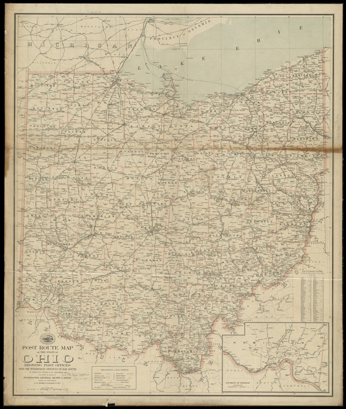
Post route map of the state of Ohio showing post offices with the intermediate distances on mail routes in operation on the 1st of December, 1903
Post route map of the state of Ohio showing post offices with the intermediate distances on mail routes in operation on the 1st of December, 1903
×
Item Information
Title:
Post route map of the state of Ohio showing post offices with the intermediate distances on mail routes in operation on the 1st of December, 1903
Creator:
United States. Post Office Dept
Name on Item:
published by order of Postmaster General Henry C. Payne under the direction of A. von Haake, topographer P.O. Dept.
Date:
1903
Format:
Maps/Atlases
Location:
Boston Public Library
Norman B. Leventhal Map Center
Collection (local):
Norman B. Leventhal Map Center Collection
Subjects:
Counties--Ohio--Maps
Postal service--Ohio--Maps
Railroads--Ohio--Maps
Ohio--Maps
Places:
Ohio
Extent:
1 map : col. ; 105 x 87 cm.
Permalink:
https://ark.digitalcommonwealth.org/ark:/50959/cj82km652
Terms of Use:
No known copyright restrictions.
No known restrictions on use.
Publisher:
[Washington, D.C.] : The Dept.
Scale:
Scale [1:441,000]
Language:
English
Notes:
Also shows railroads and counties.
Inset: Environs of Cincinnati.
Includes list of counties showing relative position.
Identifier:
06_01_009091
Call #:
G4081.P8 1903 .U55x
Barcode:
39999065659441
show more...
View MODS XML
More Like This
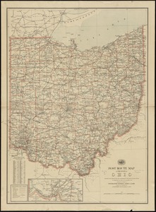
Post route map of the State of Ohio showing post offices with the ...
Post route map of the state of Ohio showing post offices with the ...
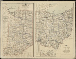
Post route map of the states of Ohio and Indiana with adjacent ...
The tourist's pocket map of the state of Ohio : exhibiting its ...
Find More Like This >>
Tools
Share
Facebook
Pinterest
X
Reddit
Tumblr
Email
Copy link
Add to Folder
Questions/Comments
Cite This Item
IIIF Manifest
Downloads
Primary (full resolution, uncompressed)
(TIF, 204 MB)
Large (full resolution)
(JPEG, 17.2 MB)
Medium
(JPEG, 243 KB)