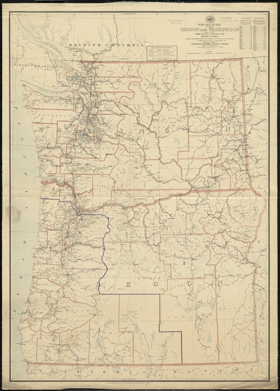
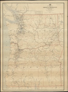
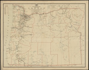
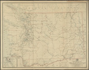
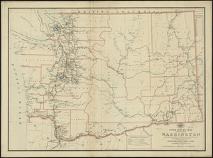
Post route map of the states of Oregon and Washington with adjacent states of Idaho, Nevada, California and British Columbia : showing post offices with the intermediate distances and mail routes in operation on the 1st of December, 1895
Post route map of the states of Oregon and Washington with adjacent states of Idaho, Nevada, California and British Columbia
Item Information
Title:
Post route map of the states of Oregon and Washington with adjacent states of Idaho, Nevada, California and British Columbia : showing post offices with the intermediate distances and mail routes in operation on the 1st of December, 1895
Also shows railroads, counties, and [congressional districts?].
Relief shown by hachures and spot heights.
Prime meridians: Washington, D. C. and Greenwich.
Includes lists of counties showing relative position.
"The service on this diagram brought up to date of Dec. 1st. 1895."