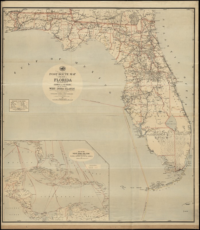
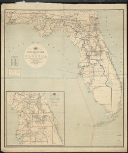
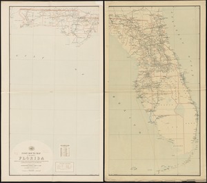
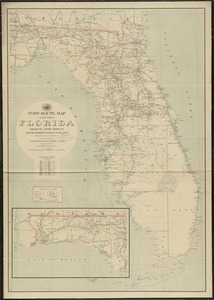
Post route map of the State of Florida with adjacent parts of Georgia and Alabama also the neighboring West India Islands showing post offices with the intermediate distances and mail routes in operation on the 1st of October 1891
Post route map of the State of Florida with adjacent parts of Georgia and Alabama also the neighboring West India Islands showing post offices with the intermediate distances and mail routes in operation on the 1st of October 1891
Item Information
Title:
Post route map of the State of Florida with adjacent parts of Georgia and Alabama also the neighboring West India Islands showing post offices with the intermediate distances and mail routes in operation on the 1st of October 1891
Also shows counties and railroads.
Inset: Map of the West India Islands with adjacent parts of Florida, Central and South America.
"The service on this diagram brought up to date of Oct. 1st. 1891."